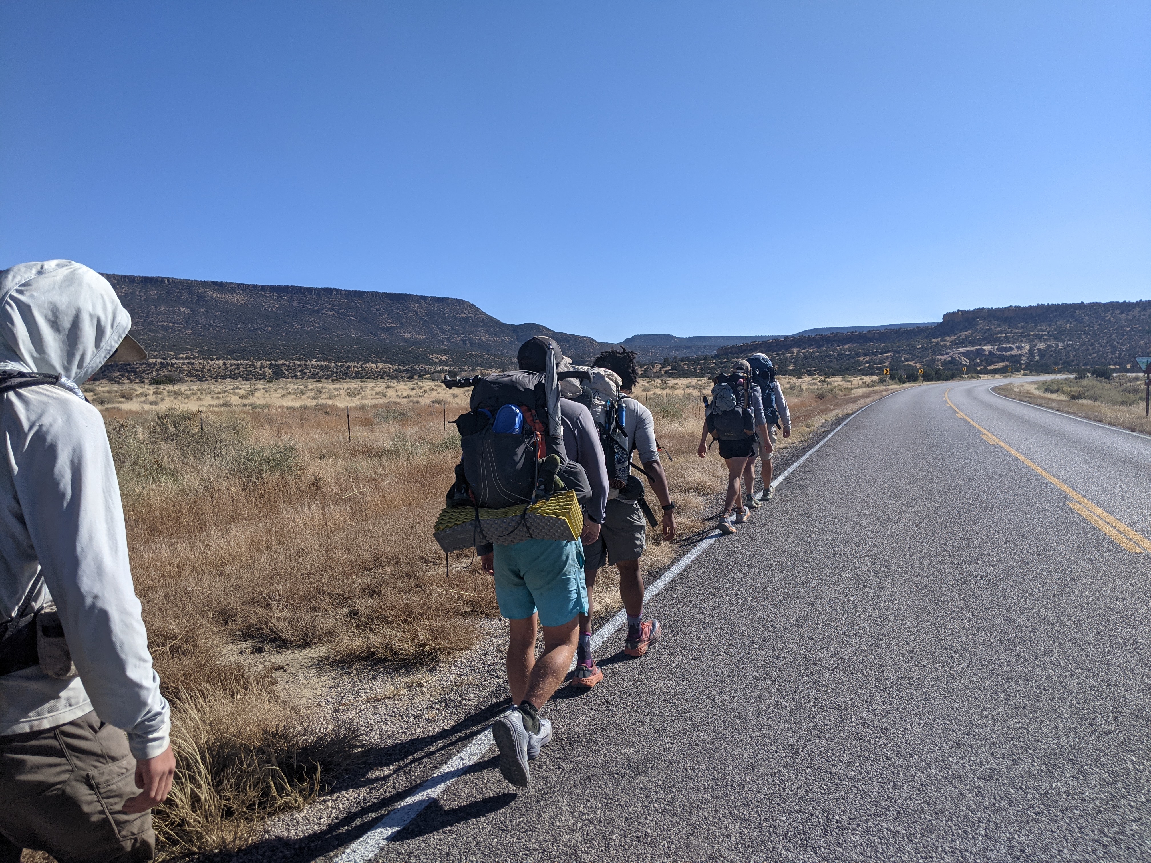
Heading south out of Grants, hikers have several possible routes from which to choose. Truthfully, I don’t remember which line we were on, but there was a lot of road walking. Without going into too much detail, it was also in this stretch between Grants and Pie Town that about half of us ended up getting sick and had to get off trail for a few days.
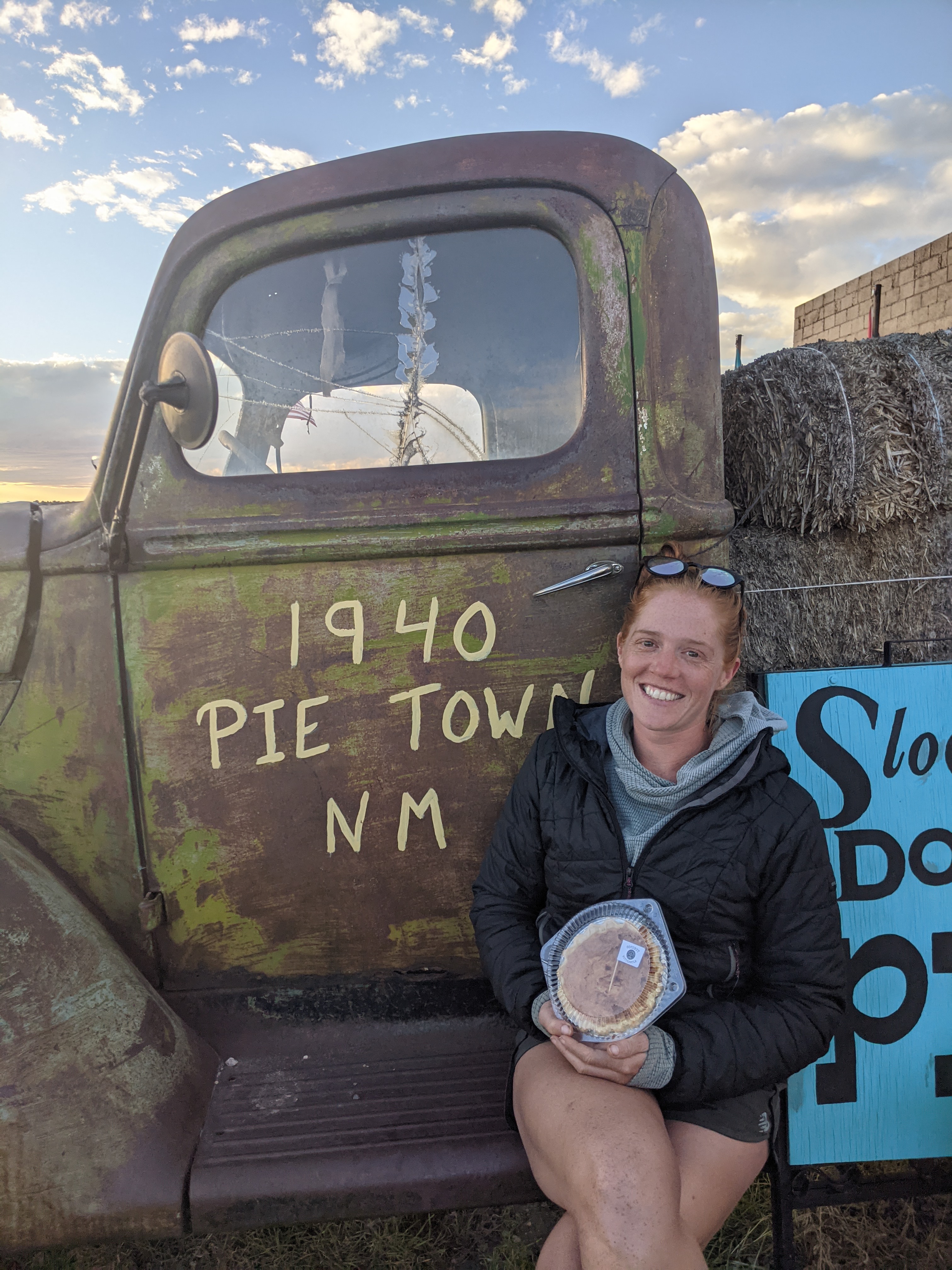
Our stop in Pie Town was alright. For many CDT hikers, stopping in Pie Town is, a highlight? A milestone? I don’t know what to call it, but this is just one of those things you do while you’re on this trail. You pass through Pie town, stay at the toaster house, and you eat pie. The pie lived up to the hype; our experience at the toaster house, not so much.
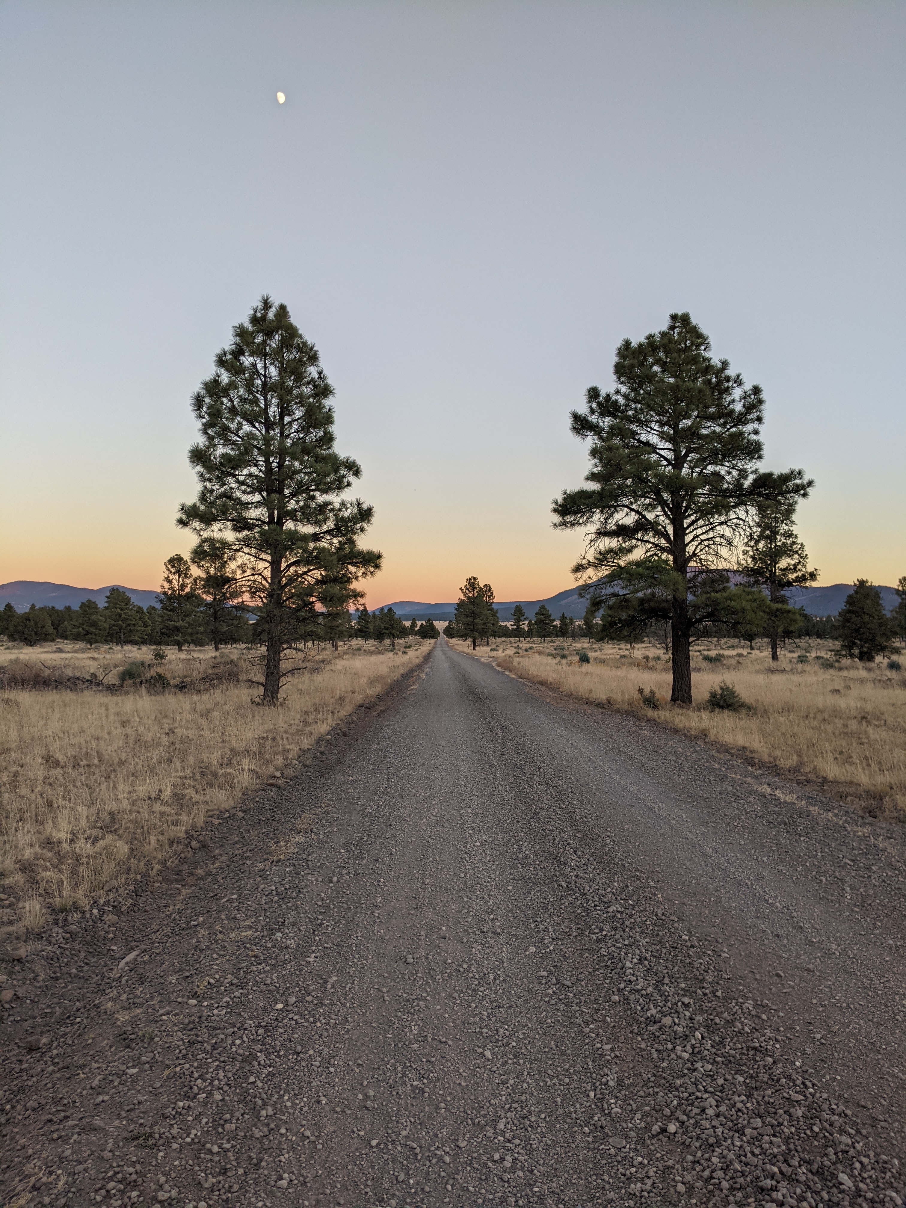
From there we took the Pie Town alternate south. This was a lot of road walking, though if I’m remembering correctly the official route also followed a road, and least the one we took was dirt. As far as road walks go this section could have been a lot worse. At no point was there much traffic, and the elevation and scenery varied enough to keep things a little interesting.
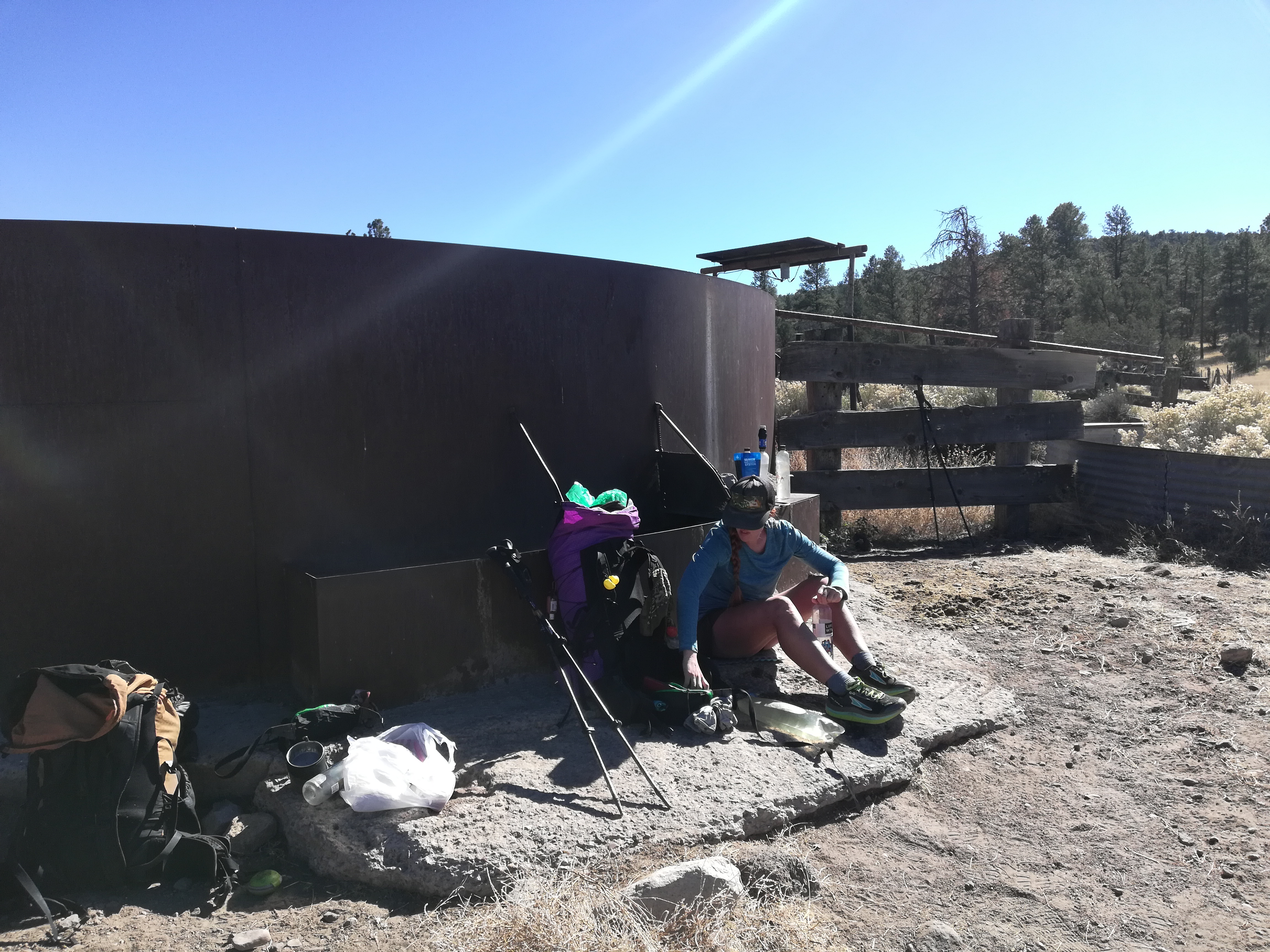
The hardest thing about this stretch was the water carries. They were mostly in the 20-25 mile range, fairly standard for our New Mexico experience so far, but the daytime temps were once again pretty high and we found ourselves struggling to stay hydrated. There were also some sections of trail that have been rerouted in recent years, making the water waypoints on our map less accurate.
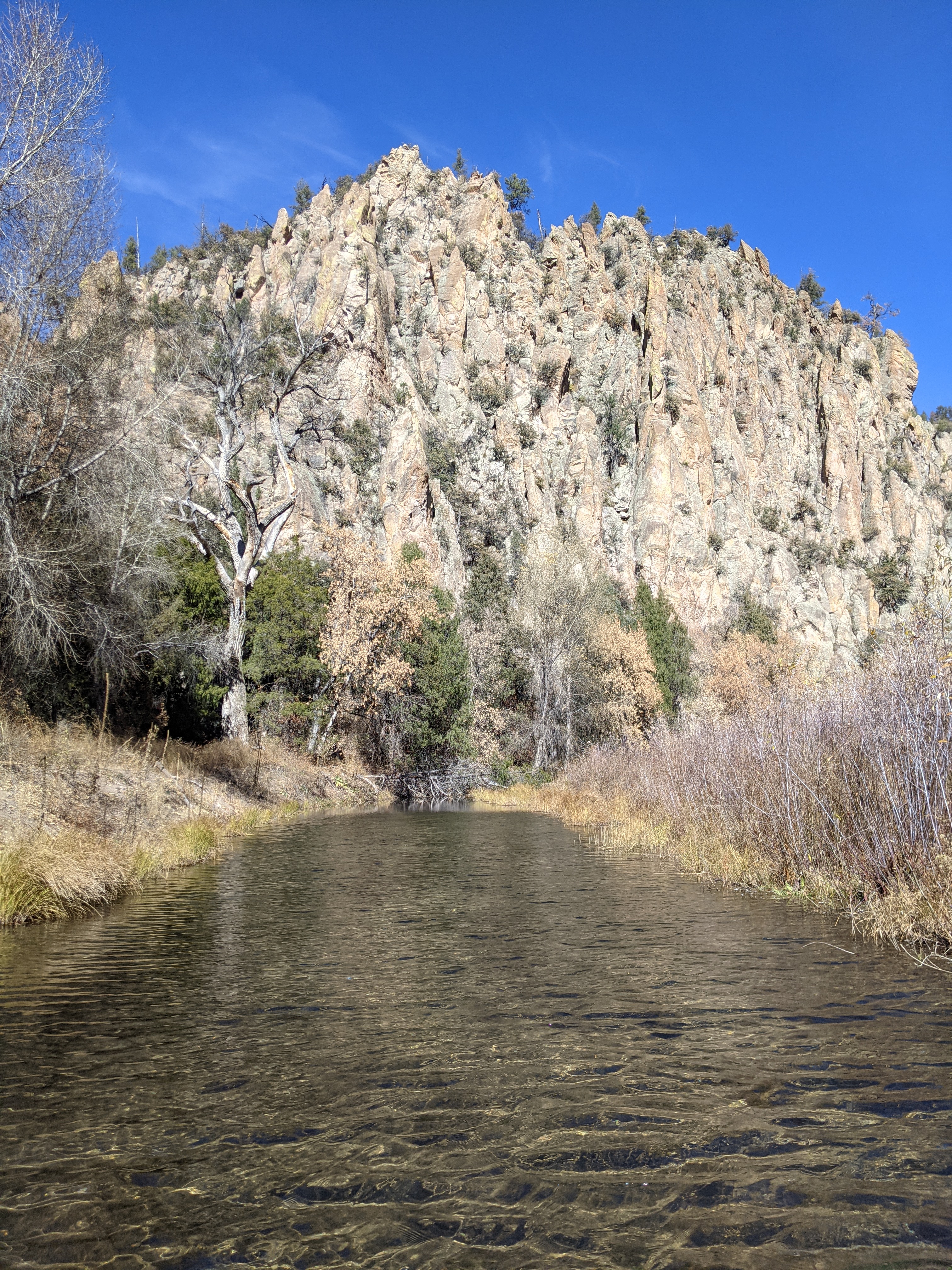
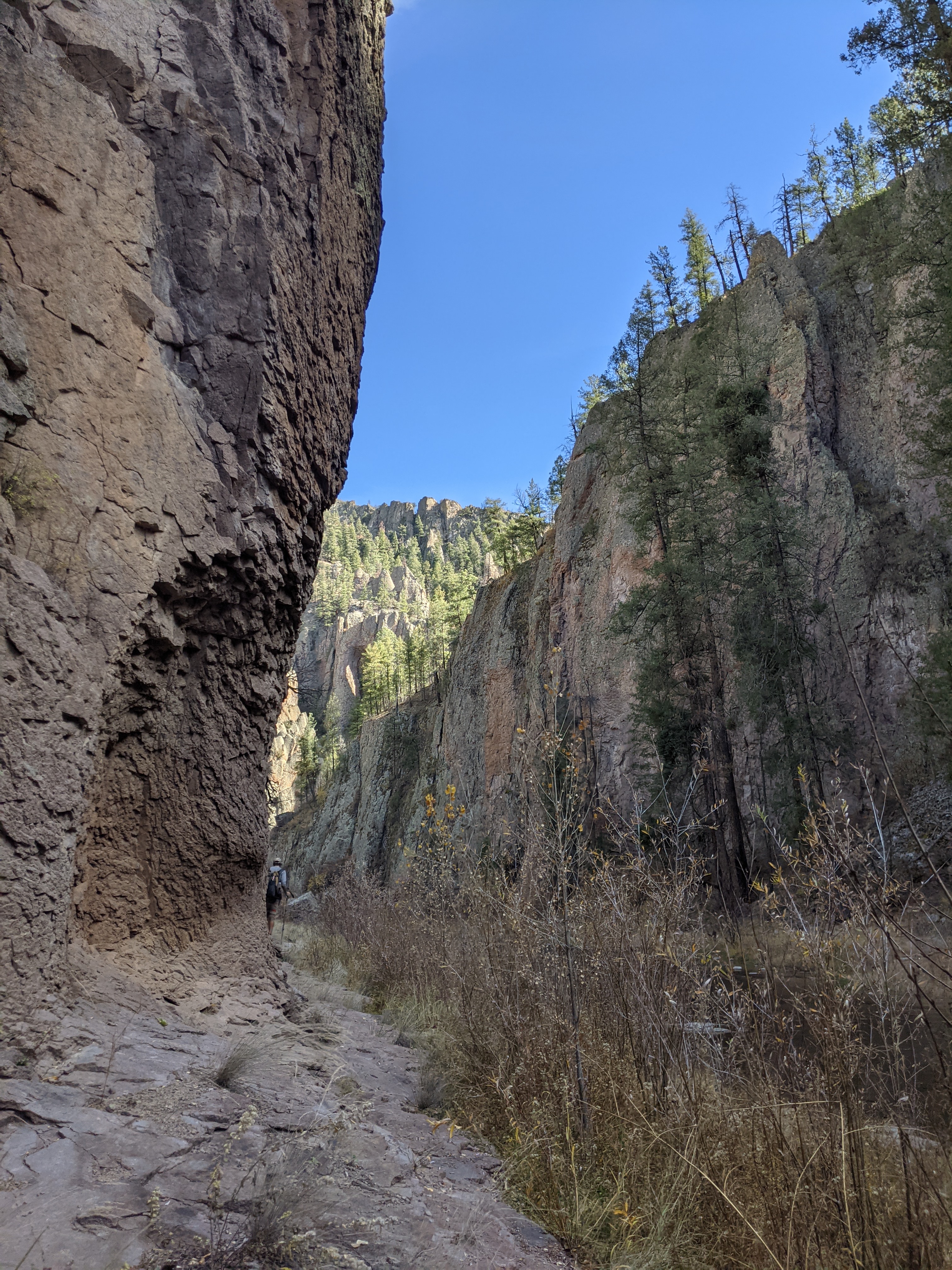
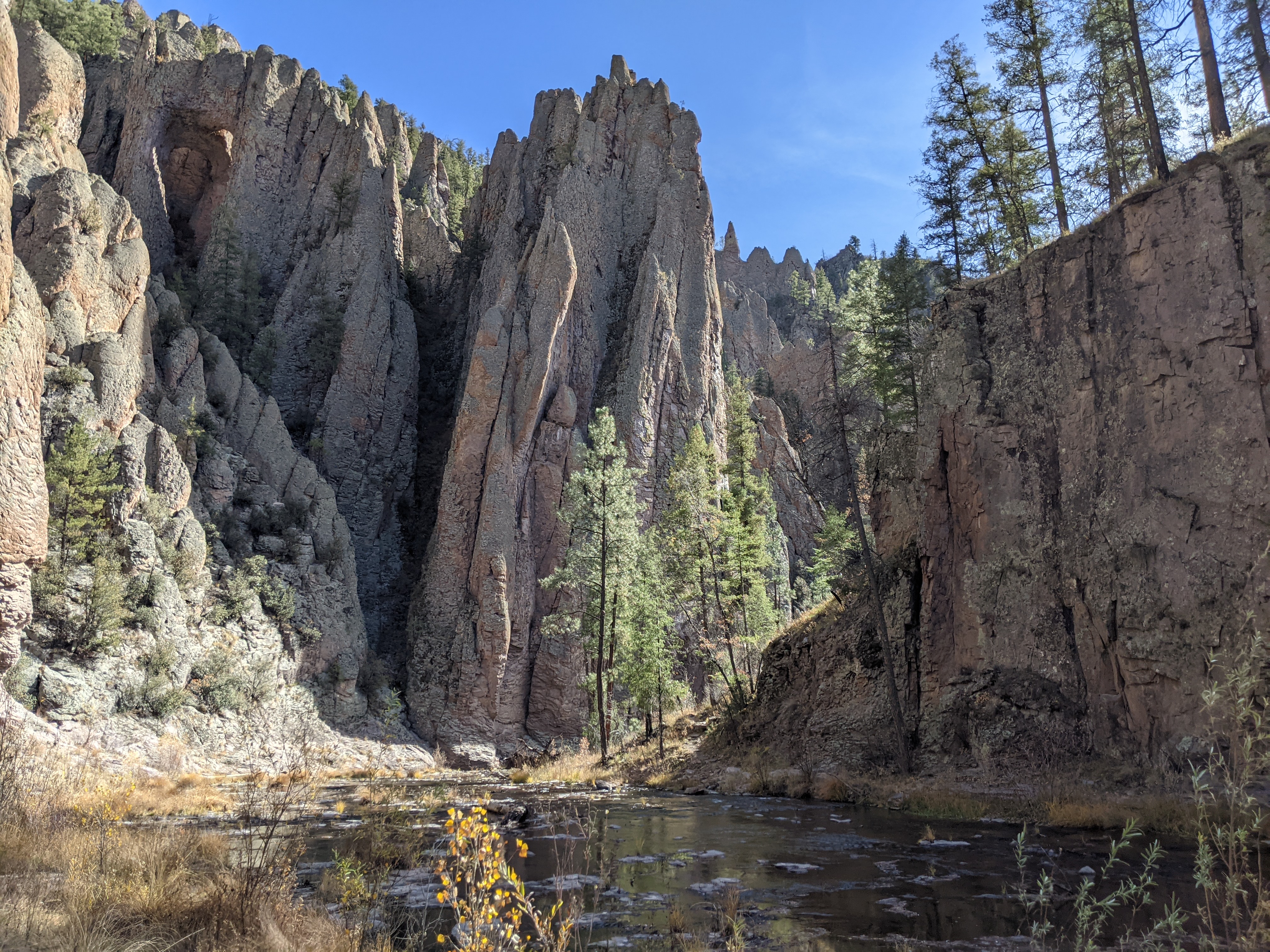
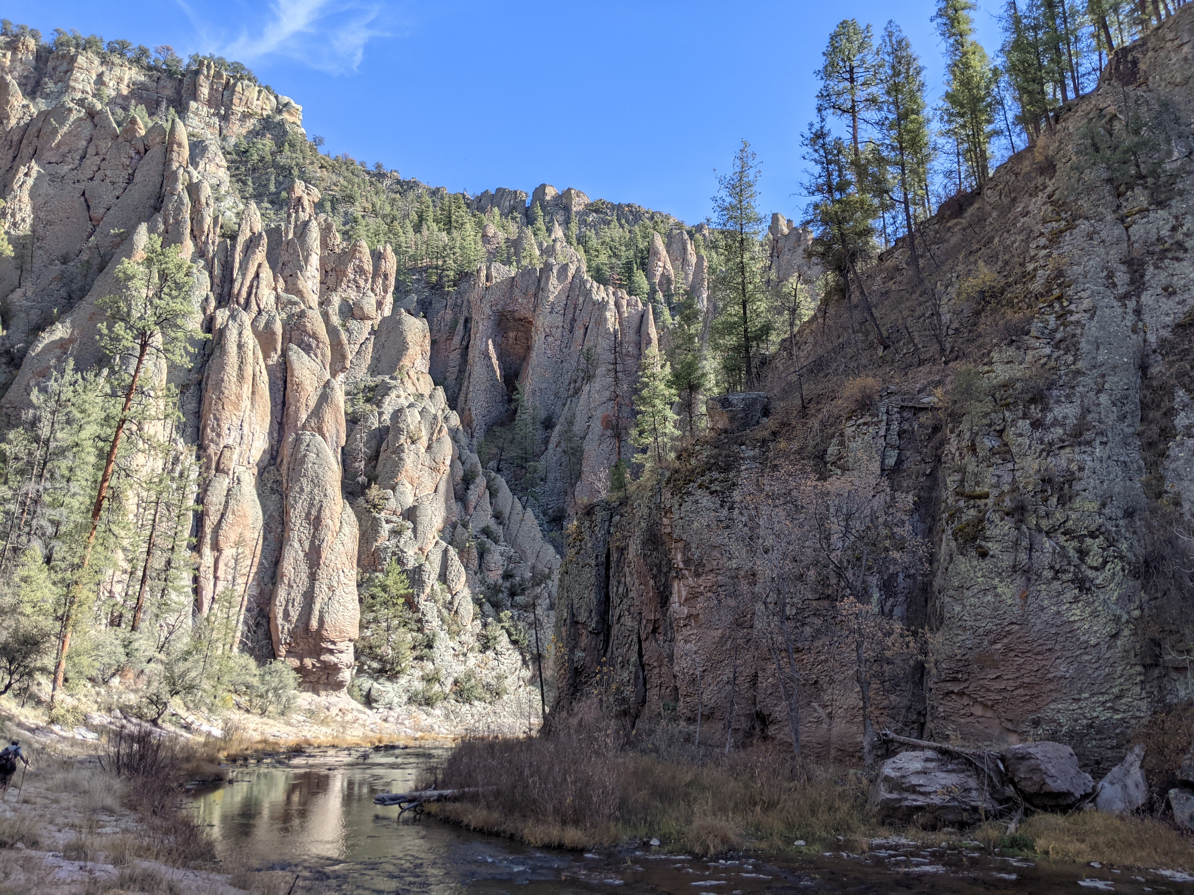
These long, dry days were made more bearable by the promise of our upcoming turn off the official route onto yet another alternate, a low route through the Gila River. When I say the route is through the river, I mean it is through the river. Although the alternate starts with many miles of road walking (kind of a given in New Mexico, if you haven’t already figured that out), it eventually leads into a canyon where it follows the river and requires a wonderfully ridiculous number of crossings.
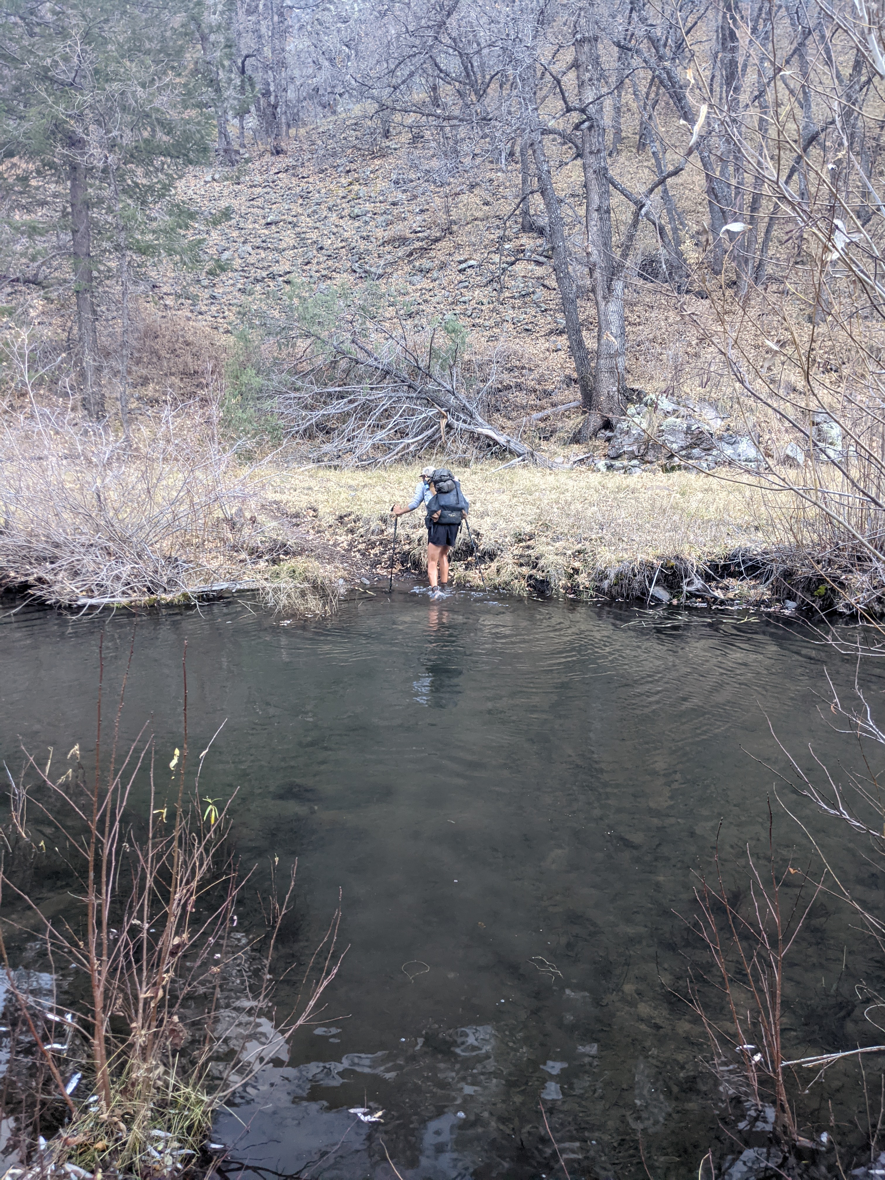
Our first day on the Gila was fairly mild. We reached the canyon shortly before sunset and only crossed the river 17 times before setting up camp. It was our second day there that the real fun occurred. Day two in the canyon, our only full day in this first half of the alternate, we crossed the Gila 106 times.
We reached this section late enough in the season that the water level was relatively low, ranging from ankle deep to upper thigh (on me). This was good for easing some safety concerns that come with crossing higher water, but the trade-off was that our late season timing also meant that we had freezing temps.
In more shaded areas the river was ice at the edges. Any breaks were taken in full sun to warm, and our days started later than usual as we let our frozen socks and shoes warm up enough to safely put them on. Normally we might just bag our footwear and tuck it in our sleeping bags to keep it thawed overnight, but we were already sleeping with our water filters, electronics, and hiking clothes, and the rest of our gear needed to be dried a bit before getting packed up anyway.
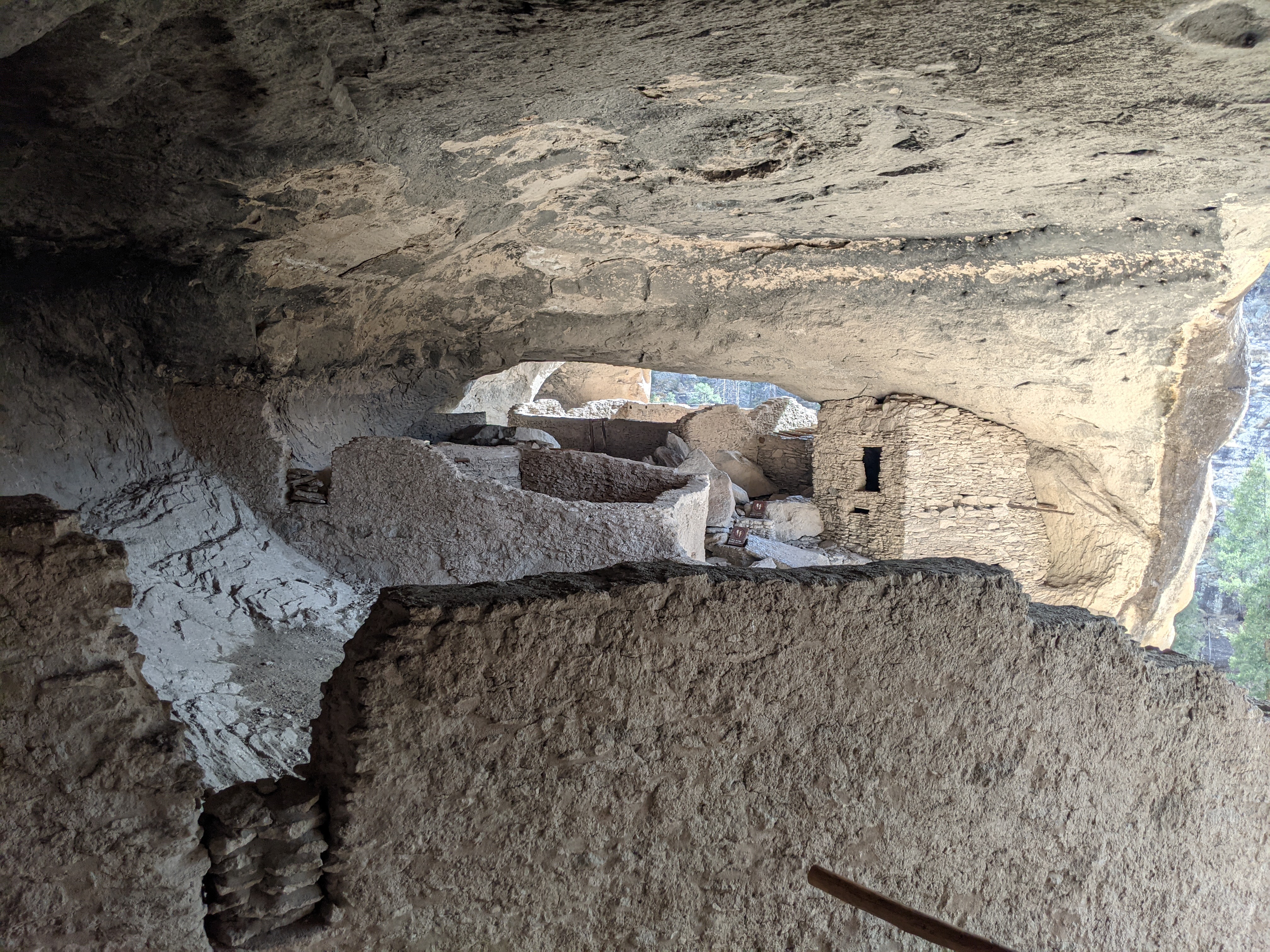
Midway through this section hikers can make an easy side trip to visit the cliff dwellings in the Gila Cliff Dwellings National Monument. When we reached the turn off for this we were completely out of food and needed to make good time to reach our next resupply stop, but we still took the time to walk through and check it out. We arrived shortly after everything opened, so we were able to beat any crowds and move through without too much waiting.


Leaving the national monument we had only a short road walk to reach Doc Campbell’s Post, where one of our resupply boxes was being held for us. The folks at Doc Campbell’s were so, so hiker friendly. From the moment we arrived it was immediately apparent that they genuinely care for the hikers passing through. We spent that night at a nearby campground where we could soak in some hot springs. The extra warmth was a welcome morale boost before heading back out to wrap up our Gila trek.
Heading south from Doc’s most of our river crossings were already behind us, but the trail still managed to throw in another 40 or so. By the time we reached the end of the Gila we’d crossed the river 192 times. This southern part, from Doc Campbell’s to Silver City, the trail was incredibly difficult to follow by the river. Many places were washed out or otherwise impassable, some stretches seemed to be only networks of cow paths, and other areas had no path altogether.

There had been several sections on the CDT before now where the trail was easier to find heading north than it was heading south. This might have been the case here, but we didn’t care enough to keep turning around to check. We knew we were following the river, and as long as we were heading in the correct general direction a cow path was just as good as a “real” trail.
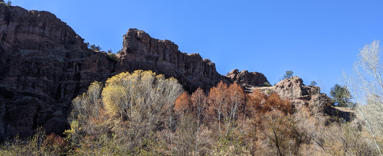
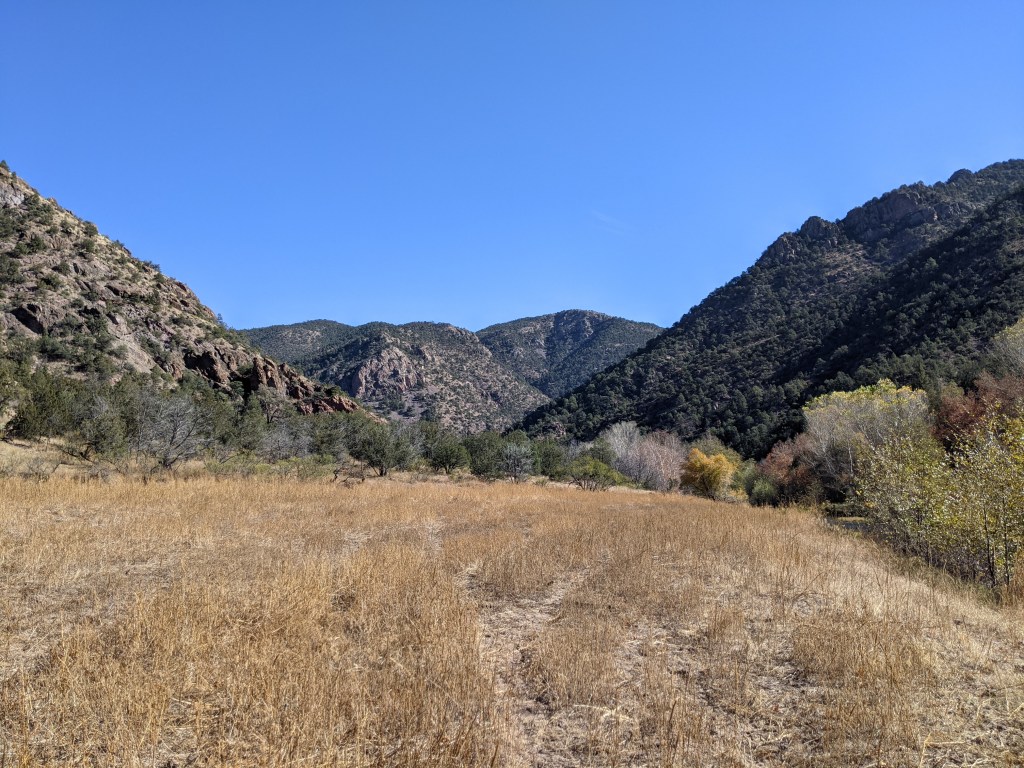
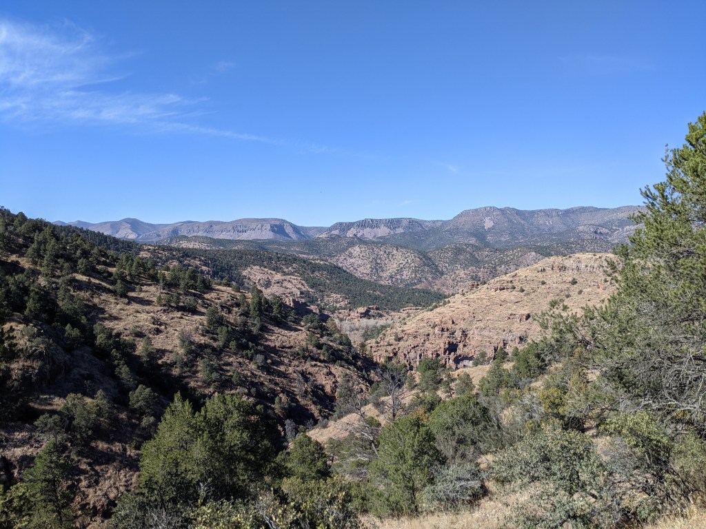
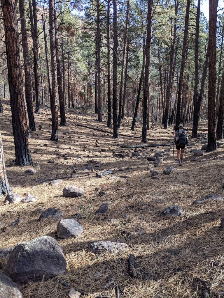
Eventually the trail turned away from the river and we found ourselves once again climbing up into the ponderosas. On our way up we kept stopping to look out over the view below and behind us. It was one of those moments where it felt almost unreal that those miles along and through the river, entirely unlike any other section of the CDT, were part of the same trek we started back in Glacier.
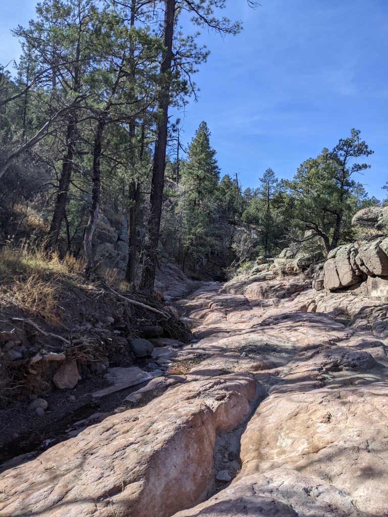
At this point we were pretty close to Silver City as far as mileage is concerned. However, we’d heard from hikers ahead of us that as the trail begins dropping down towards the road it all but disappears. Apparently fires and flooding in previous years destroyed the trail, and although it was still visible in some areas it was entirely overgrown in others. Fortunately, earlier hikers had left clear directions in our trail app of where to cut down to a wash we could easily follow before reconnecting with the trail.
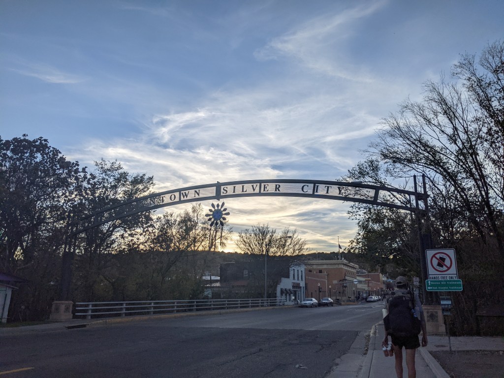
Near the start of the Gila alternate we had gotten separated from most of our friends. They were several days behind us and on track to reach Silver City a day or two before Thanksgiving. To make a long story short, rather than hike out of Silver City the way we were supposed to, a series of events led us to getting a ride to the Burro Peak Trailhead; about 20 highway miles south of the city, which I think was about 50 trail miles. From that point we hiked north, bringing us back to Silver City to meet up with our friends for Thanksgiving.
There’s a hostel in the city, the Triple Crown Hostel, that’s owned and operated by a fellow thru hiker. Each year he hosts a Thanksgiving dinner for current thru hikers passing through as well as for local friends, many who are also former thru hikers. Had we stuck to our original timeline we would have been off trail well before Thanksgiving, but in hindsight I’m glad things worked out the way they did. Most of our second half was hiked with a great group, and Thanksgiving at the hostel felt like a perfect pause before we wrapped up this adventure. Prior to arriving (the first time) we didn’t know much about Silver City aside from hearing it was very hiker friendly. It ended up being one of our favorite trail towns and a place we see ourselves going back to in the future.


