The Colorado / New Mexico border is kind of an odd one for many southbound hikers. After Pagosa Springs, CO, the next town most hikers aim for is Chama, NM. What’s odd about this is that the easiest place to get into Chama from the CDT is a highway crossing that’s still in Colorado. So before actually crossing the state line on trail many sobos have already popped into New Mexico for a resupply and maybe a night in town, and that’s exactly what we did.
As I mentioned in the previous post, one of the recent storms had forced so many hikers off trail for a day or two that we ended up with a second bubble. This put many of us in Chama at the same time. We found ourselves meeting up with some hikers we hadn’t seen for several hundred miles or more, and other hikers we’d never met.
Several of our friends had booked the only suite at the most hiker friendly motel in town. This place also happened to be located directly across the street from the grocery store. Having a kitchen in a room less than a two minute walk from the grocery store well, that’s just hiker heaven. We also learned after arriving in town that it was one of our friend’s birthdays the following day, so the timing of all of this worked out well.

Another great thing about so many of us congregating in town was that it meant we could have a large group cross the border together into our final state. Many of us had crossed previous borders alone or with a few other people, and those of us who took the Big Sky Alternate and crossed into Yellowstone in the Northeast corner of the park didn’t even have a marker for one of our state lines.
The Colorado/New Mexico state line was maybe 2-2.5 miles from where we got back on trail. Despite the short distance we all stopped for a while to soak in this moment and to celebrate what these license plates represented. What a beautiful thing, to share this with so many people all brought together by such a life-changing shared experience.
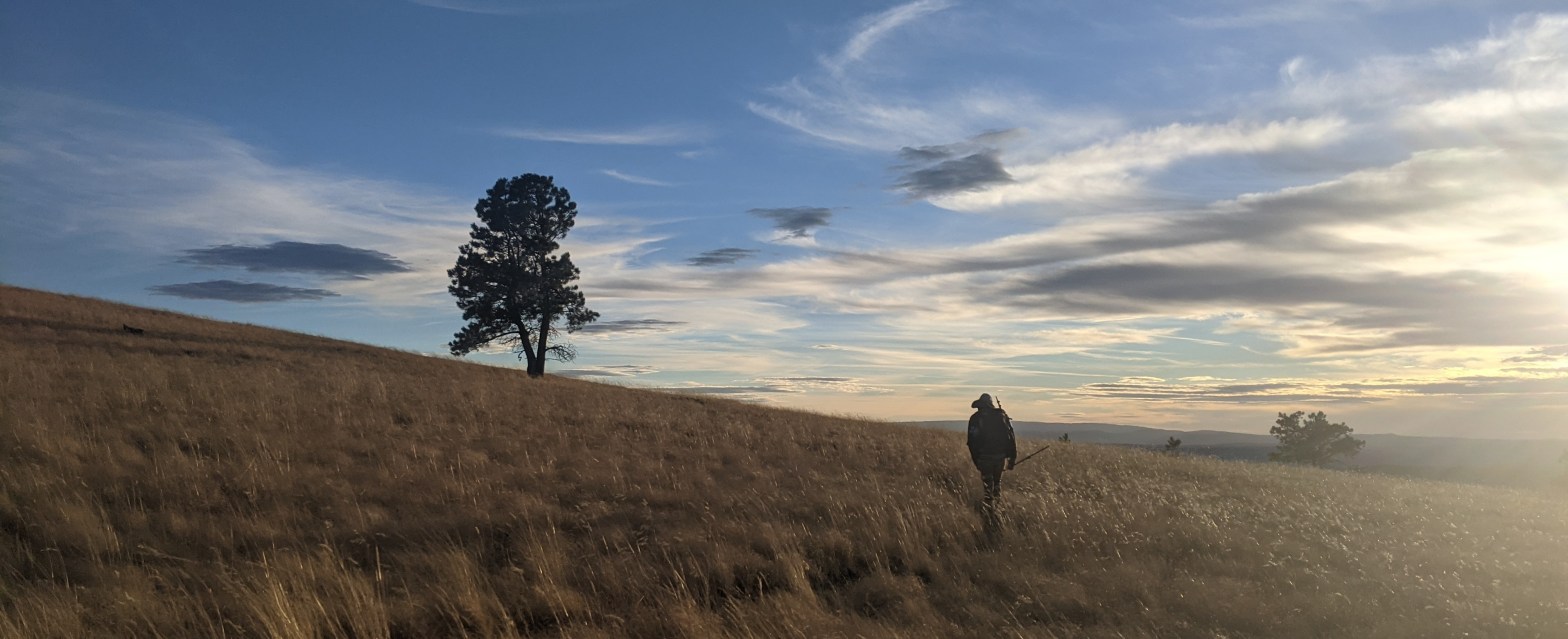
Beyond simply marking our entrance to our last state on the CDT, reaching New Mexico felt special to Matt and I for another reason. Before we got on trail we had spent several months exploring the state in our van, and some of that time we were not too far from the trail. There was a certain familiarity in the Ponderosa pine forests of northern New Mexico, and knowing the van was parked a little west in Tucson, well, it really did kind of feel like we were hiking home.
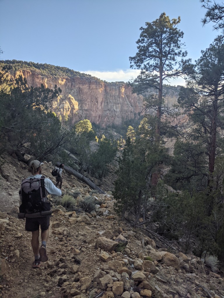
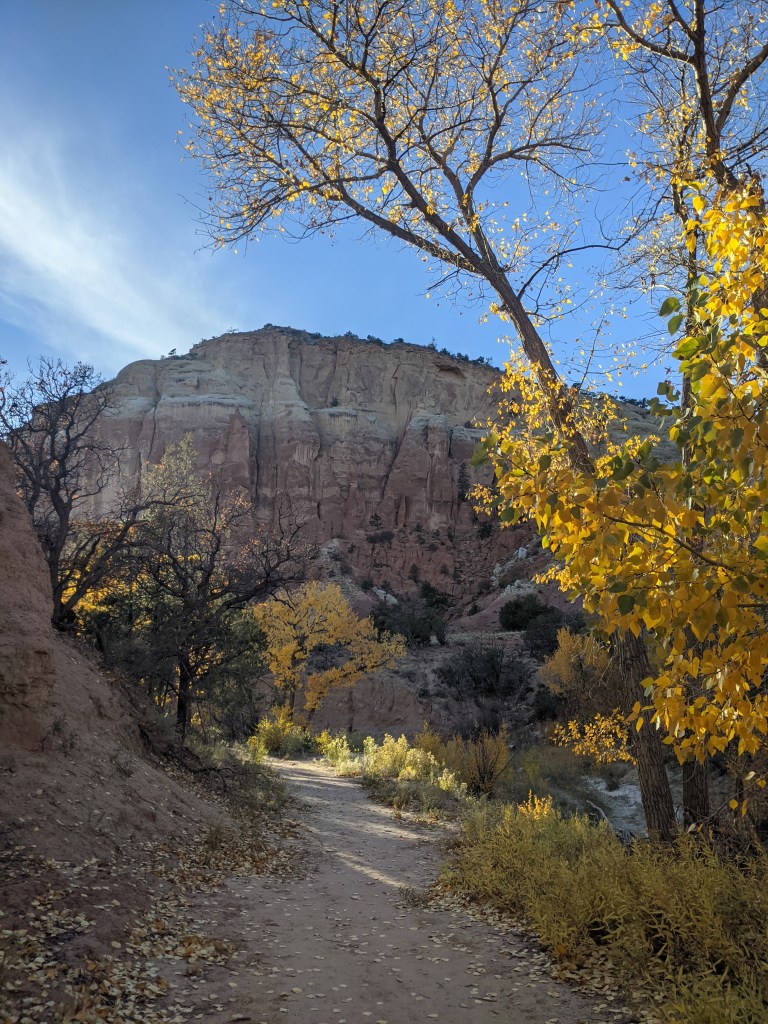
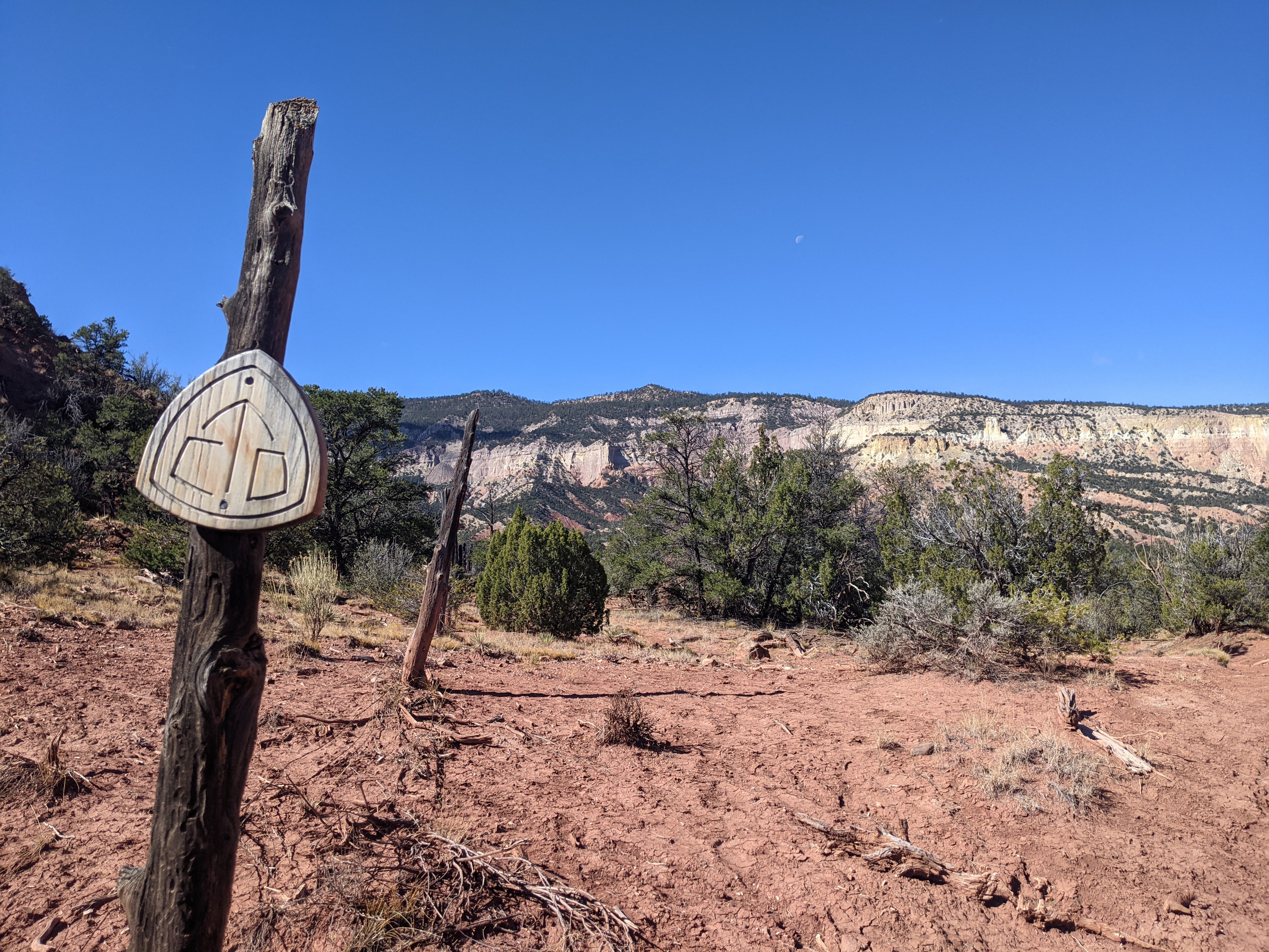
Fairly early on in New Mexico there’s an alternate off the official route that brings hikers through Ghost Ranch, which is the trail we chose to take. The day we arrived at Ghost Ranch turned out to be one of the CDT days I’ll cherish the most the rest of my life. Up until this point we had remained at higher elevation, hiking through coniferous forests not much different than what we’d been in for the past several hundred miles. Dropping down into Ghost Ranch was our first look at the desert that lay ahead, and the transition from the shaded pine forest to the exposed, red rock desert below, was a fast one.
Matt and I had driven through there back in June and knew what was coming. The three friends we were with at the time didn’t, and at least one of them had never been to the desert before, aside from the basin back in Wyoming (a completely different kind of desert). Watching their excitement grow as we made our way down into the canyon was so special. The sun was lowering as we made our way down the rocks, hitting at just the right angle to highlight the colors on the walls around us, evoking such pure, playful joy. In those few short miles to the ranch we must have stopped at least a half dozen times to marvel at the landscape.

The CDT is a trail that renders complacency nearly impossible. As soon as you start getting comfortable in one environment, the trail throws you into an entirely different one. This entrance into the desert was one of the most abrupt transitions. It was second only to entering the basin after the Wind River Range.
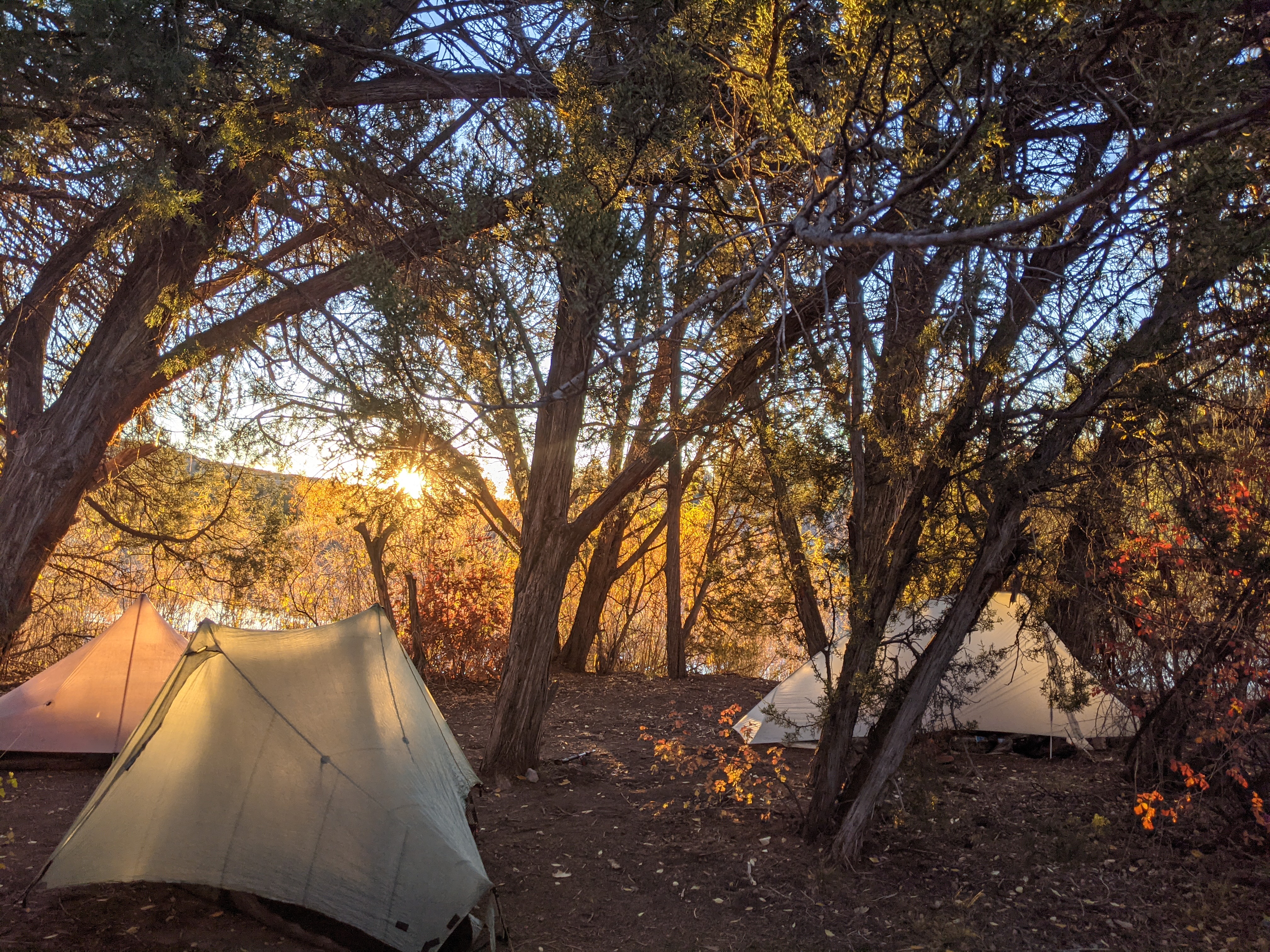
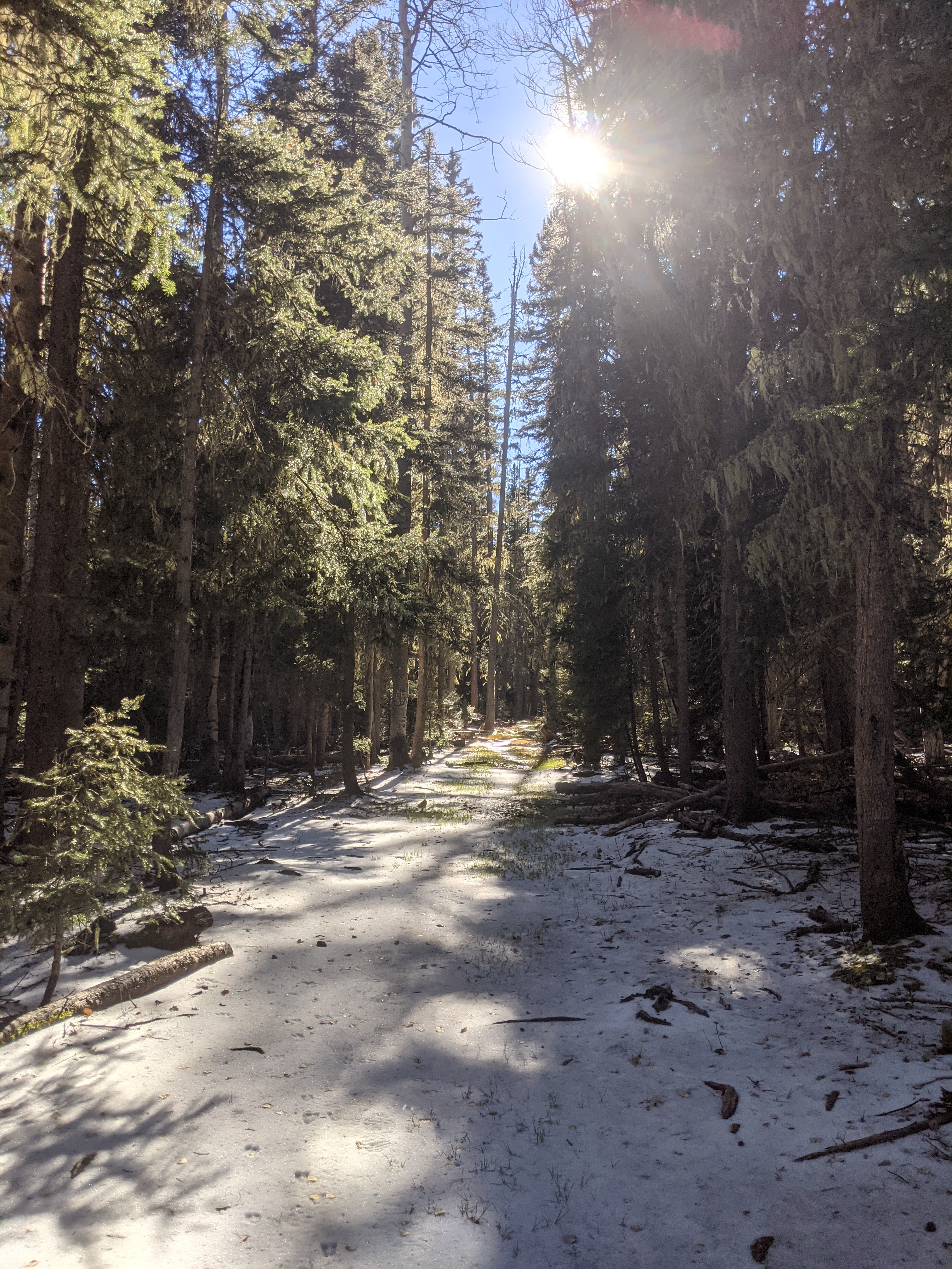
For the next several hundred miles we got a little bit of everything: dry desert, riverside road walks, snowy pine forests. It felt like New Mexico was giving us a taste of so many places we’d been through up to this point.
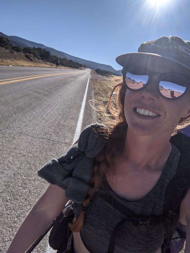
One way New Mexico differs from the other states is the number of towns that are on trail; where the official route literally follows a road through town. The trail does go through a few towns in other states, Rawlins, WY for example, but this is definitely a more common occurrence in the southernmost CDT state. Passing through on foot is convenient for many reasons, but the trade off is a lot of road walking.
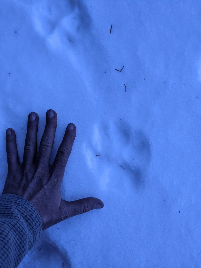


Another thing that sets New Mexico apart from the other states on the divide is the water sources. Some of our water in the basin was horrid, but aside from that most of our sources were pretty good. The ones we started hitting now were a different story. Because we were hiking through a dry environment, most of our water was coming from springs set up to serve free range cattle. Most of the water didn’t look too bad when it was collected and almost all of it filtered fine. However, getting to the water usually required tiptoeing around a lot of cow pies, and smelling those while collecting water that quite likely had a funny taste but you had to drink it anyway — gross.


If I remember correctly, the three water sources pictured above all turned out to be decent. The one on the left had a slight taste, but it was nothing a little flavored drink mix couldn’t fix. Two of our biggest problems with water were long carries and some bad sources clogging our filters rather quickly. It’s one thing to face a 20+ mile dry stretch in the desert heat; using a filter so clogged you have to work for the lightest trickle makes it a whole other level of frustration. There were definitely a few carries we went back and forth on whether to carry a little less than usual just for the sake of not stopping so long to filter so much.
What little structure there was to our days was largely centered around water. If our carry from camp in the morning was less than 12-15 miles we usually timed it right to stop for lunch at a source. This allowed ample time for our clogged water filters to work their magic, and it allowed us to “camel up” before we continued on our way. We also did whatever we could to avoid dry camping. Our daily mileage varied quite a bit as a result, but in my opinion the hydration was worth it.
Shortly before hiking into Grants there’s an alternate to summit Mount Taylor. This is the highest point on the CDT in New Mexico and would be our last time above 10,000 feet on trail, so of course we did it. Might as well enjoy a peak like this when we already have trail legs, right? One of our buddies is missing from the picture below, but aside from that this is one of the few group shots we have of everyone we hiked with through most of the southern half of the trail.

From Mount Taylor it was only a few more miles into Grants where we would take a zero to take care of things we hadn’t been able to do for a while. Grants was the first city or town we’d been through in a while that was big enough for it to be almost guaranteed we could find everything we needed. As one of our friends put it: “Morally I hate Walmart, but right now I am so excited to get to this one.”

Grants was also the stop where I would finally be getting my new shoes. I had planned to swap my shoes in Cuba, but the ones that showed up didn’t work out. So my sandals, as we took to calling the atrocities I was putting on my feet everyday, had to make it another 100 miles or so.
We hiked 35 miles to get into town that day. Our final leg was several miles of highway and sidewalks with a quick detour to the nearest grocery store. We might have stopped earlier and just gone in the following morning if I wasn’t so determined to make it that night. Before I’d left camp I’d decided that when I took my shoes off that night I was never putting them on again. I wasn’t letting anything stop me from keeping that promise to myself.
