Getting back on trail after our few days visiting friends in Denver felt like a fire being lit underneath us. Up until this point we’d had the Denver plans somewhat guiding our pace, but once that visit was behind us it was time to get our act together and make miles to wrap up the CDT in a good weather window.
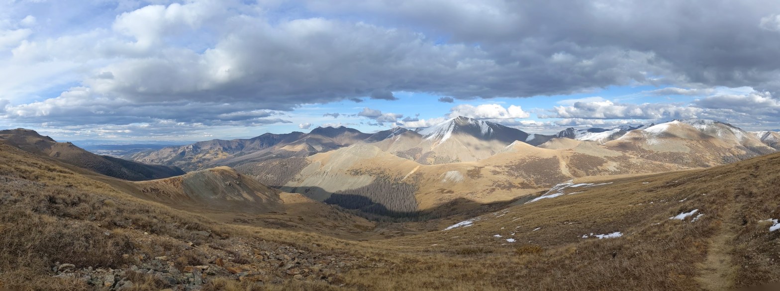
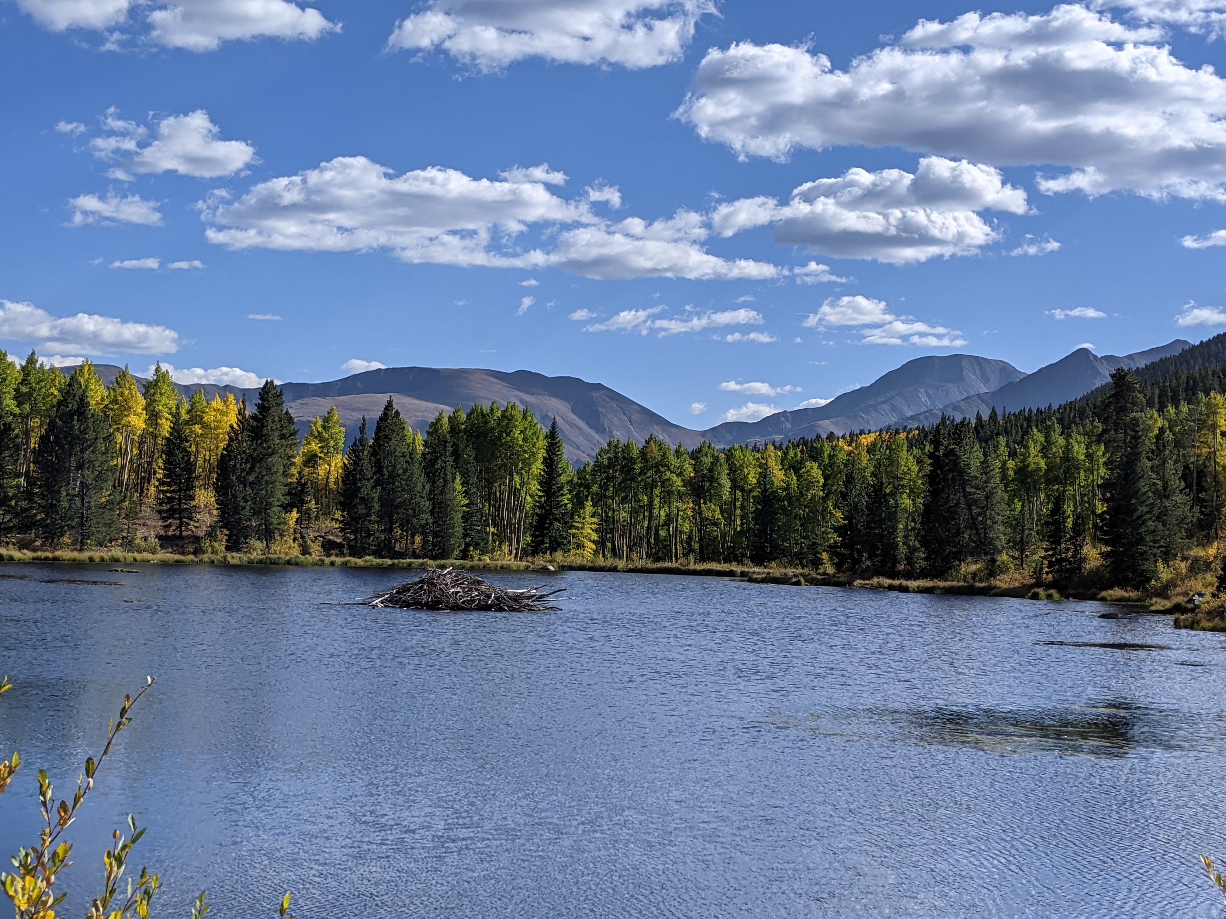
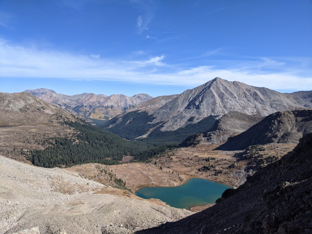
A bit south of where we got back on trail the CDT overlaps with the Colorado Trail. The two trails follow the same route for a while, not diverging again for several hundred miles. Earlier on in our trek someone had told us that reaching the Colorado Trail stretch would feel like someone had “rolled out the red carpet of hiking trails” for us, and wow were they right. This section was by far some of the smoothest, most well marked trail we walked over the course of the entire thru hike. Even with some good climbs and high elevation miles, the trail condition was a luxury that made us feel like the miles were practically hiking themselves.
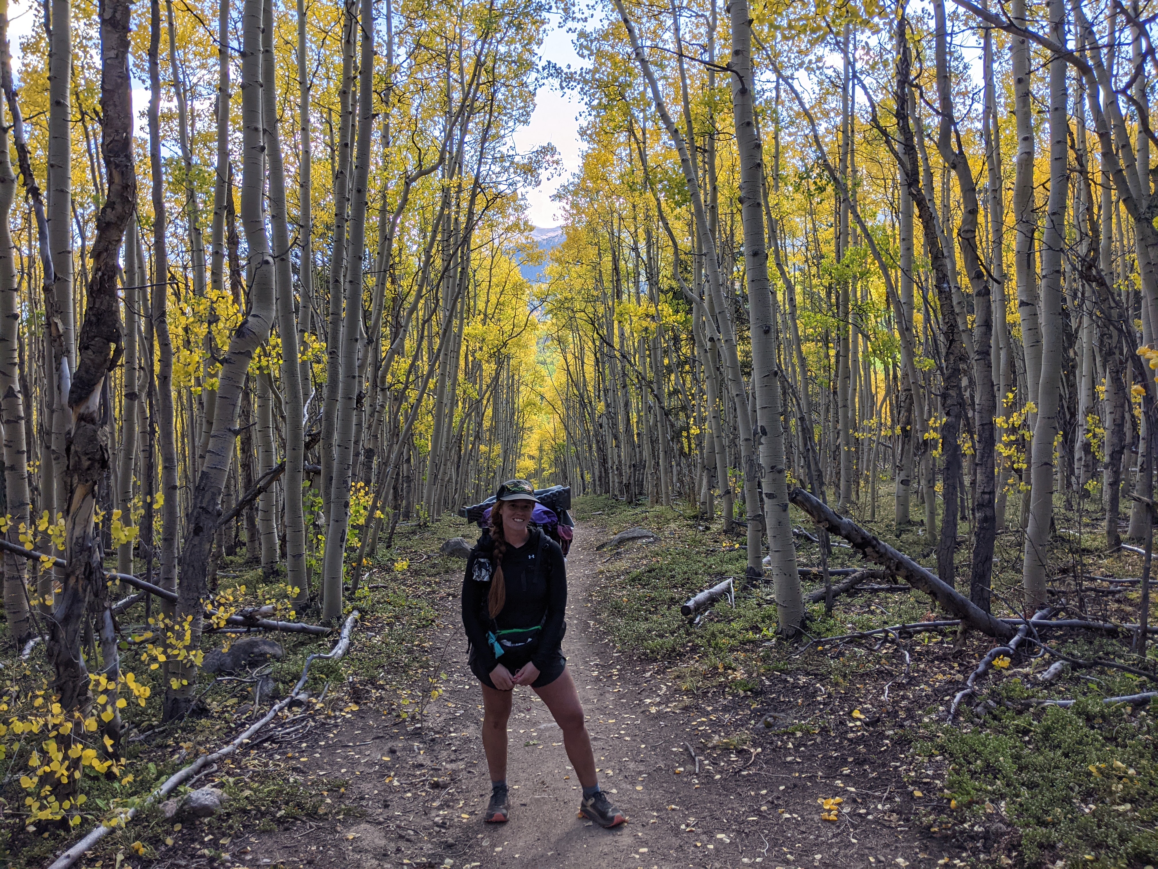
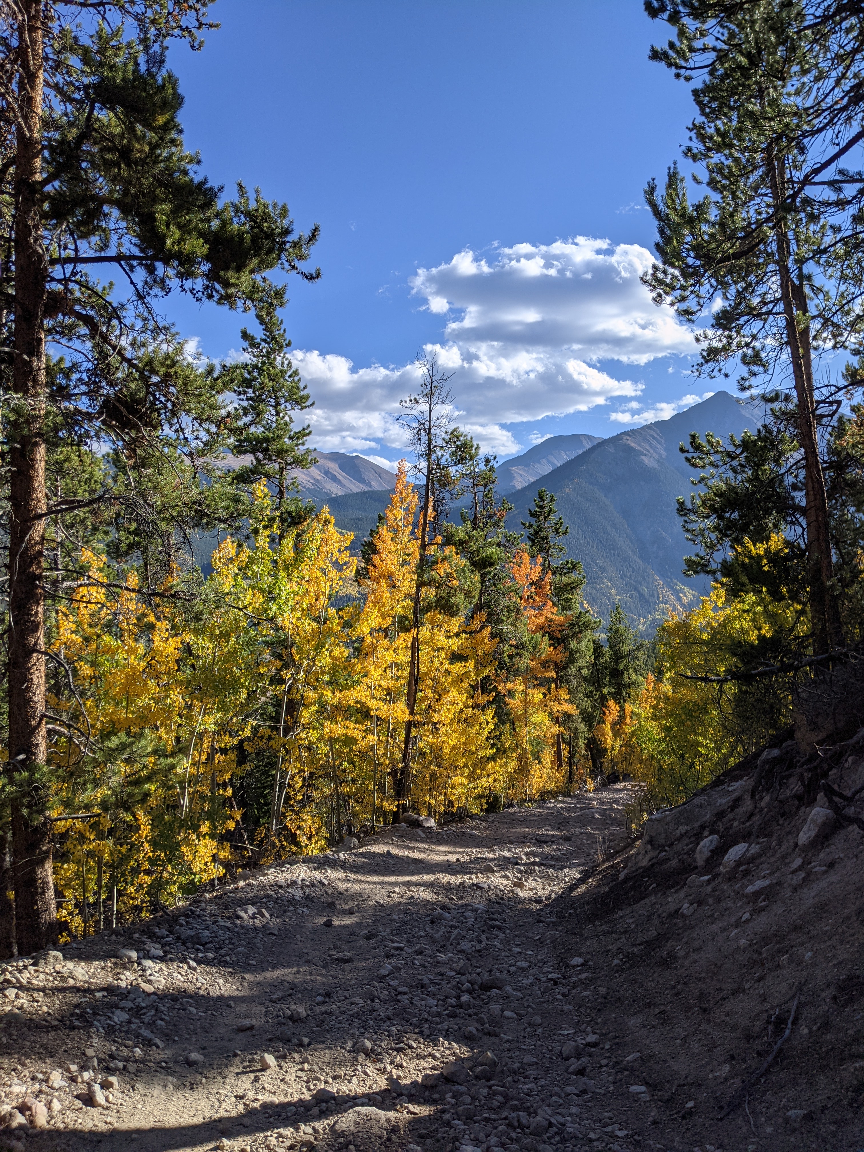
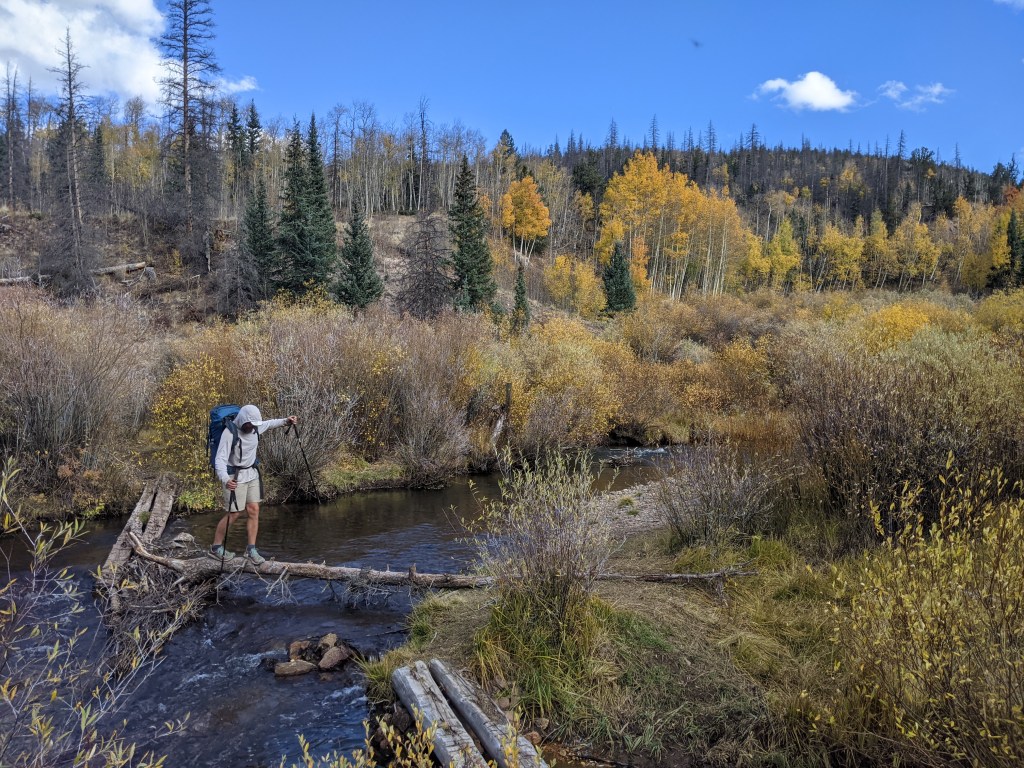
The stretch between Copper Mountain and Twin Lakes was especially cruisey and absolutely beautiful with the changing colors. Someone in Leadville told us that before hitting Twin Lakes we would hike through one of the largest aspen groves in the area, well I’d say our timing for hitting it was perfect.
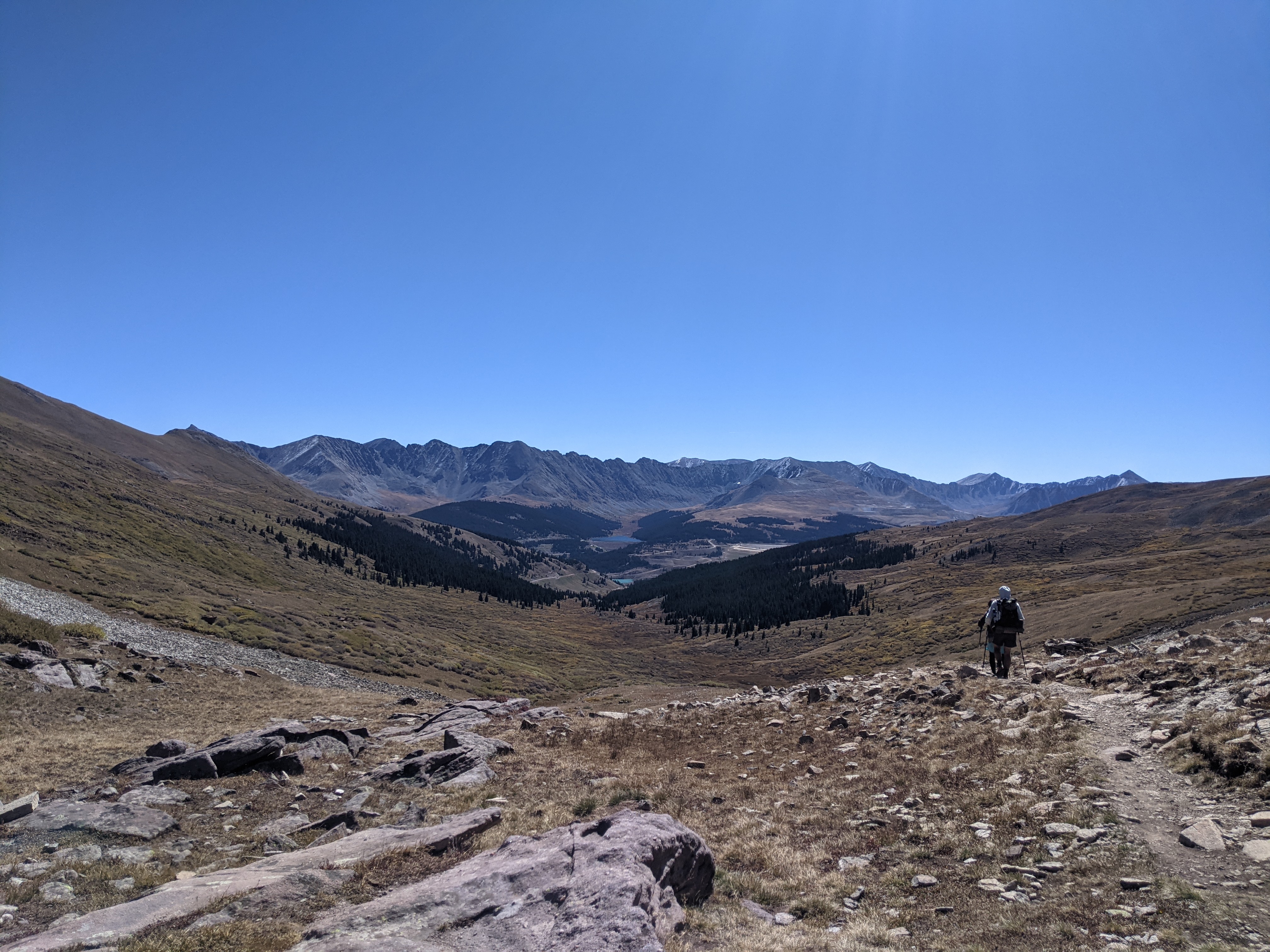
Coming out of Twin Lakes we immediately began the climb up to Hope Pass. This day, as well as the previous day, were a little unusual for us in that we were sharing the trail with quite a few day hikers. I imagine it was probably a weekend, but if I’m being honest I lost track of the days of the week long before Colorado. Unless we had a post office stop we needed to work around, the date just didn’t matter all that much.
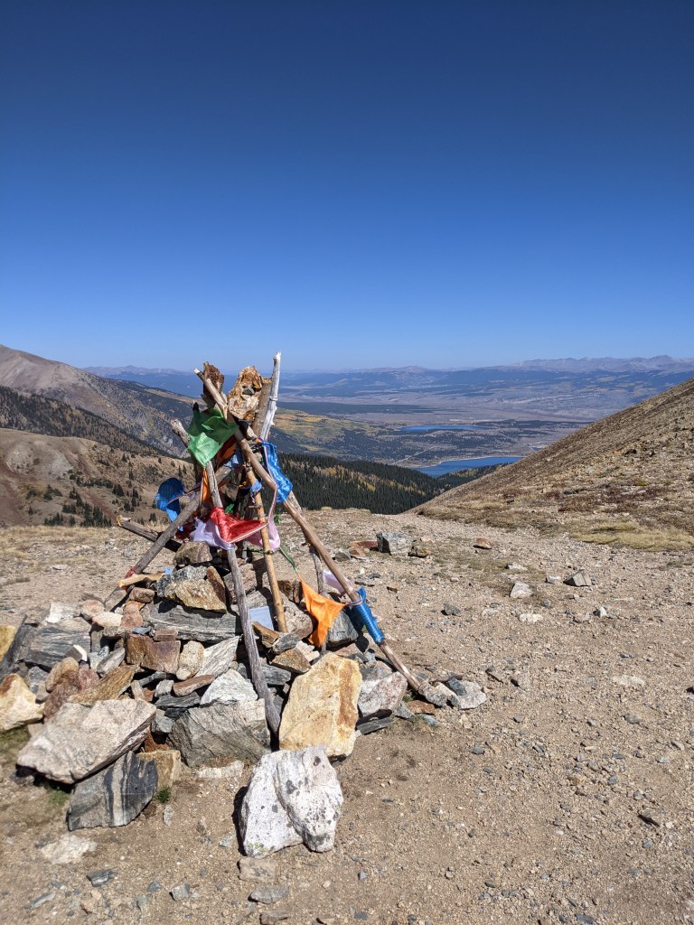
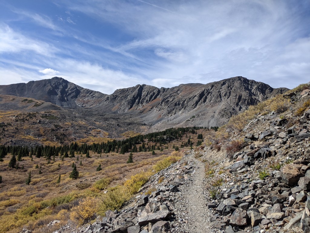
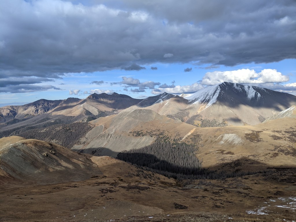
Fortunately for us, we still managed to get a few moments alone at the top of the pass, enough time to quietly soak in the view before continuing on. This pass was the first in a string of upcoming passes, between
which the trail would drop down almost all of the elevation we’d gained on each ascent. Yup, a lot of uphill and a lot of downhill, but also a lot of breathtaking views to make it all worthwhile.
From Hope Pass we dropped down for several miles before our next climb to Lake Ann Pass. We weren’t sure about the water situation on the south side of the pass, so rather than push up and over late in the day and run the risk of having to dry camp, we stopped for the night near a stream on the north side, shortly before the final climb.
We continued this way for a while; pass after pass, losing a fair bit of elevation after each one only to regain it several miles later. It was the kind of hiking that made us thankful we already had our “trail legs.”
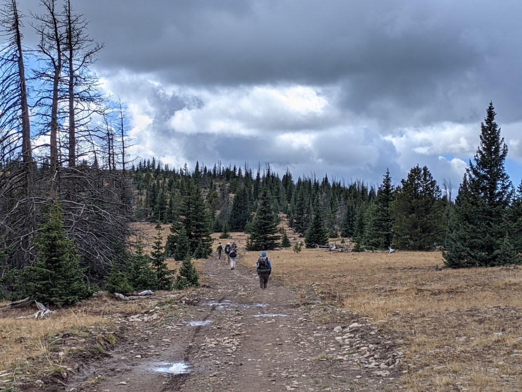
What was supposed to be a quick stop in Salida, one night for a shower and town chores, turned out to be a double zero when we heard from a friend that he and several others had gotten into town the morning after us. It had been a while since we had anyone to hike with, so we hung back to stay with this crew for a bit. We didn’t know it at the time, but we would end up sticking with this group for almost the entire remainder of the trail.
Part of our group decision to take an extra day in town was a storm passing through the mountains. The sky was clear over the city, but we could see the mountains from where we were staying, and knowing the general location of the trail there was no way we were hiking out into what we were watching. When we did get back on trail a day later, let’s just say we felt even more justified in our decision. We still had to hike through some frigid winter conditions, but from what we saw it was nothing compared to what was going on the previous day.
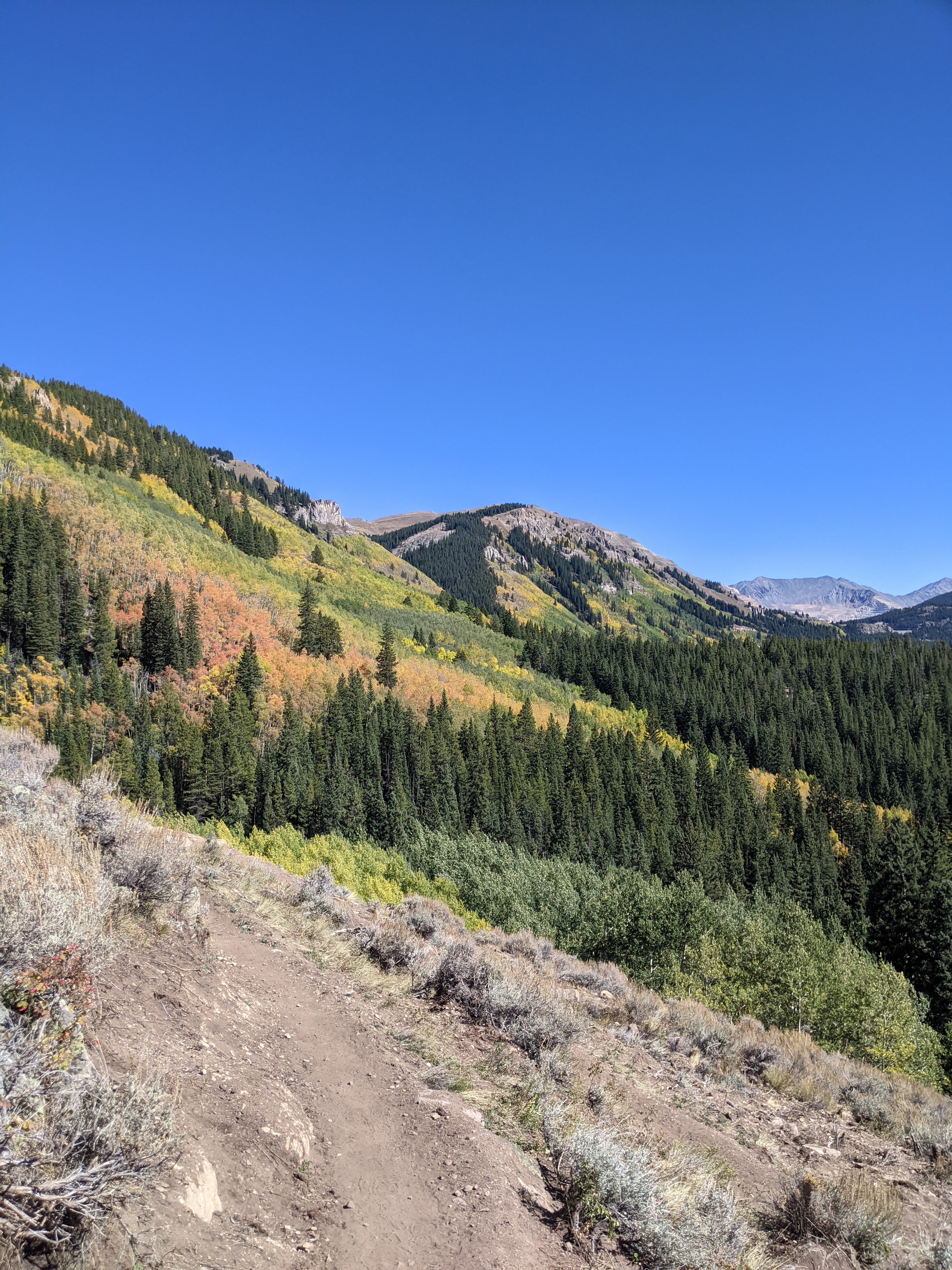
Luckily for us, this wintry weather didn’t last too long. Now that’s not to say conditions were perfect, but aside from cold, frosty mornings and some patches of snow on the trail, we were still for the most part getting beautiful, fall days.
After the miles of road walking earlier in the state we’d felt lucky to have so much real trail lately. It wasn’t long however, before the trail once again began regularly sending us back onto roads. For the most part they were dirt forest service roads with very little traffic, but in true CDT fashion there were a few brief highway road walks thrown in the mix as well.

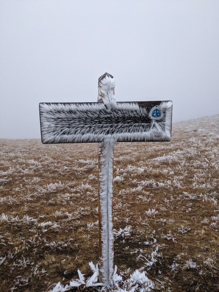
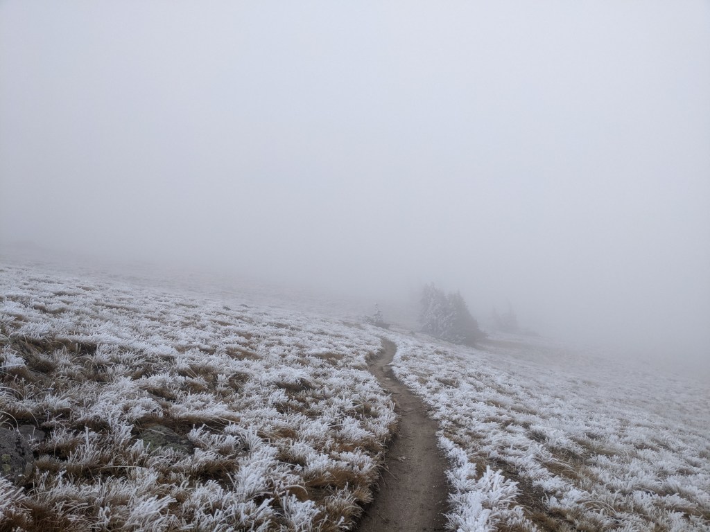
It was around this time that our daily mileage dropped a bit, in large part to our slow mornings. The nights were so cold and we were at such high elevation that some mornings we woke up to a layer of frost covering our gear, other mornings it was a coat of ice. Each night we set up camp where we anticipated the morning sun would hit first, hoping to start the thawing and drying as early as possible. Sometimes we got lucky, but most days were started by moving things into the sun to dry while we made coffee and breakfast, then still taking it all out again during a long lunch to finish drying when the sun was higher.
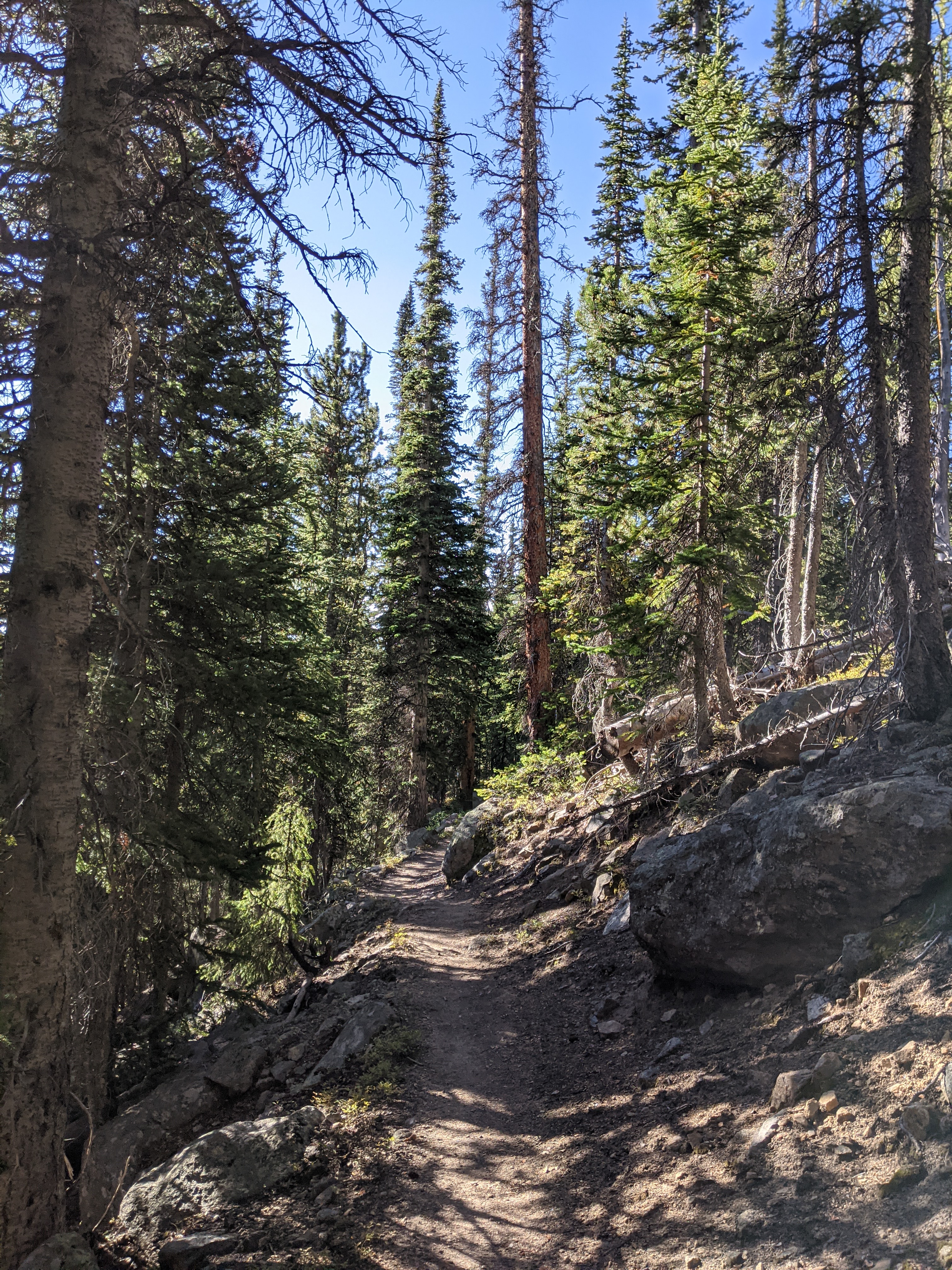
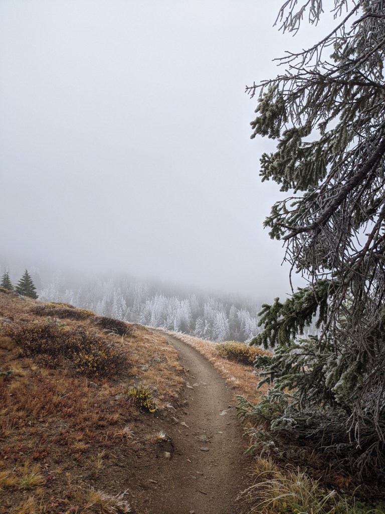
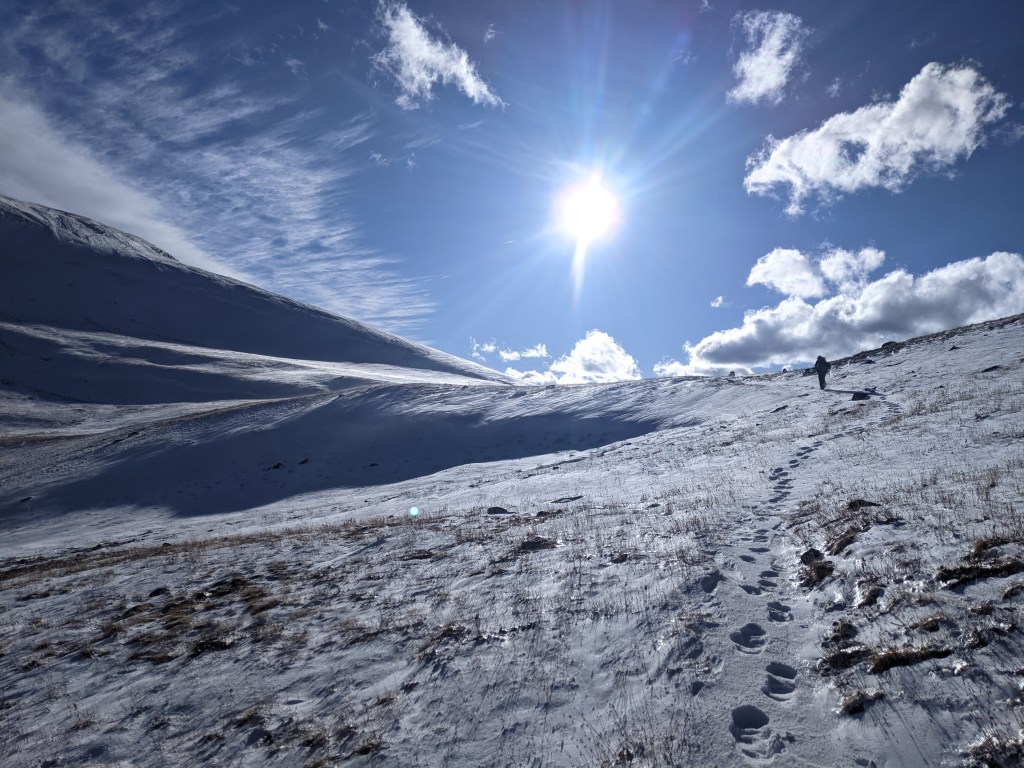
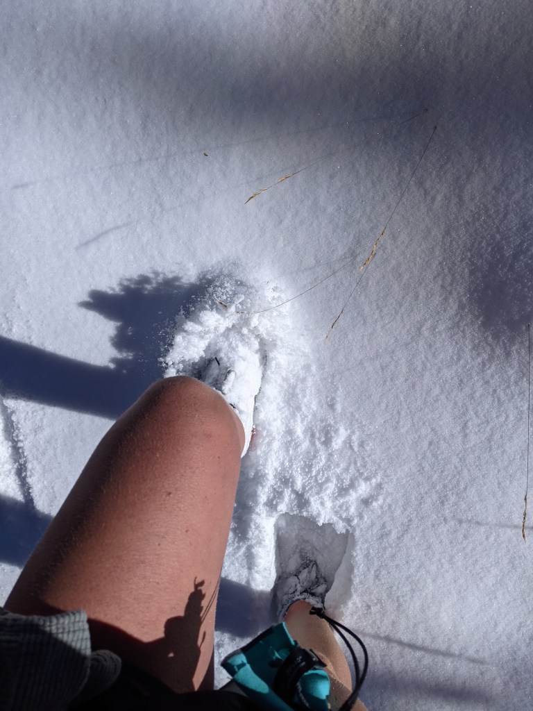
For a better idea of how much the conditions could vary in a single day, the two pictures below were taken on the same day only a few miles apart. While we did gain some elevation between these two spots, it wasn’t as much as it may seem.


This is the point in this post where I’m looking at all of the pictures I took and I’m increasingly overwhelmed trying to narrow it down. Trying to choose which few to include seems a near impossible task sometimes, made worse by the fact that none of these come close to capturing the feeling of climbing these mountains, walking these ridges, waking up in an icy tent and setting off on a 25 mile day with frozen shoes and a full heart. Looking at any of these pictures I can feel the anticipation, the soreness, and the satisfaction of each of these days. It’s simply not possible to convey more than a fraction of that in a blog post like this, and I’d be lying if I said that’s not a hard truth to accept.
A highlight of the Colorado sections of the CDT are the miles through the San Juan Mountains. This stretch of the trail is also one of the biggest wild cards hikers have to contend with in the weather window we have to complete the hike. Northbound hikers reach this range in the spring, when the snow melt presents an unpleasant avalanche risk. Southbound hikers pass through the mountains relatively late in the game, with hopes of safe passage through this section before the early winter storms hit a driving force pushing us through the earlier months on trail. Should hikers find themselves unable to stay on the official route through the San Juans, whether by choice or out of necessity, there are alternate routes at lower elevation that are more easily (and safely) passable for a longer period of time. These lower routes just aren’t quite as epic as the high route, and our fingers were crossed we wouldn’t have to drop down.
Shortly before we reached the start of the San Juan section an early storm passed through, absolutely slamming the trail. We waited out the storm in town, doing our best to calculate the risk of going back to the high route with this new snow and more on the way. While we were in town we heard from hikers ahead of us that most of the “bubble,” the largest group of fellow sobos, were also waiting it out a town or two ahead of us. We would later learn that this storm forcing so many hikers off trail for a day or two essentially created a second bubble.
When we left town we decided to give the high route a shot. There seemed to be plenty of places we could get off trail and drop to lower elevation to camp, so that was the plan. Worst case we have to bail on the high route entirely, in which case there were several side trails we could take to connect to a low route. We ended up only making it a day and a half up there, but it was worth every cold, slow, moment.
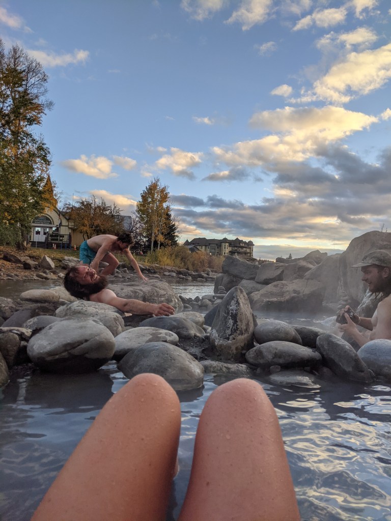
The day we left the high route we set up camp just in time for another storm to hit. It was one of those nights where sleep came second to keeping the tent from collapsing or coming unstaked, and we once again woke up to a fresh layer of snow and ice. It was a miserable morning, the kind of misery that fueled our motivation to get to town that day. Our next stop would be a particularly sweet one after the past several days; Pagosa Springs, a town built around a river with natural hot springs, and our final town in the state.
On the edge of the river running through town are some hot springs that are open to the public. Several of us decided we owed it to ourselves to soak for a while, to rid ourselves of any doubt that we were thoroughly thawed out.

As much as I would love to tell you that was the end of our snowy trails, it was not. The day we left Pagosa Springs we walked into another storm, not as bad as what we’ve had, but enough to stop earlier than planned when we caught up to two friends who had turned around due to a lack of safe camping up ahead. Rather than risk hiking in the dark as temps dropped, we followed their lead and set up camp nearby.
The following day we woke up to find most of the trail covered in about a foot of snow. Unless we were on a road where snowmobiles had passed through within the past day or so, we were breaking trail. We had one pass to get up and over, hopefully our final obstacle in getting out of this winter wonderland.
It was slow going on the way up and we eventually found ourselves rushing down the other side, trying to get as low as possible before it got dark. We could feel the temperature dropping faster than previous days and we knew we needed to get in our sleeping bags as soon as possible. That night was by far our coldest night on trail. We learned from a local the next afternoon that it had gotten down to around 8 degrees in town that night. None of us know what it was where we camped, but it might be one of those things it’s best to simply be thankful is behind us.

My videos and posts don’t cover exactly the same sections. None of this was really planned ahead of time and frankly I don’t think it’s worth the time and energy to make sure they line up after the fact. The first video below shows our Colorado hiking from both our last post and the beginning of this one. The second video shows where we were through the second half of this post.

Annie! What a great adventure!
Congratulations to you and your pals! Your mother and I were both at Wheelock together for a couple of years. I’m so glad she posted this!
LikeLike
Thank you! It was certainly a wild ride, and one that’s still sinking in.
LikeLike